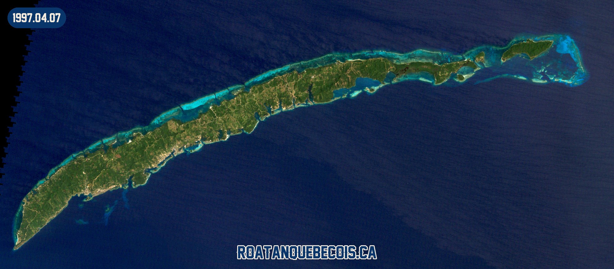
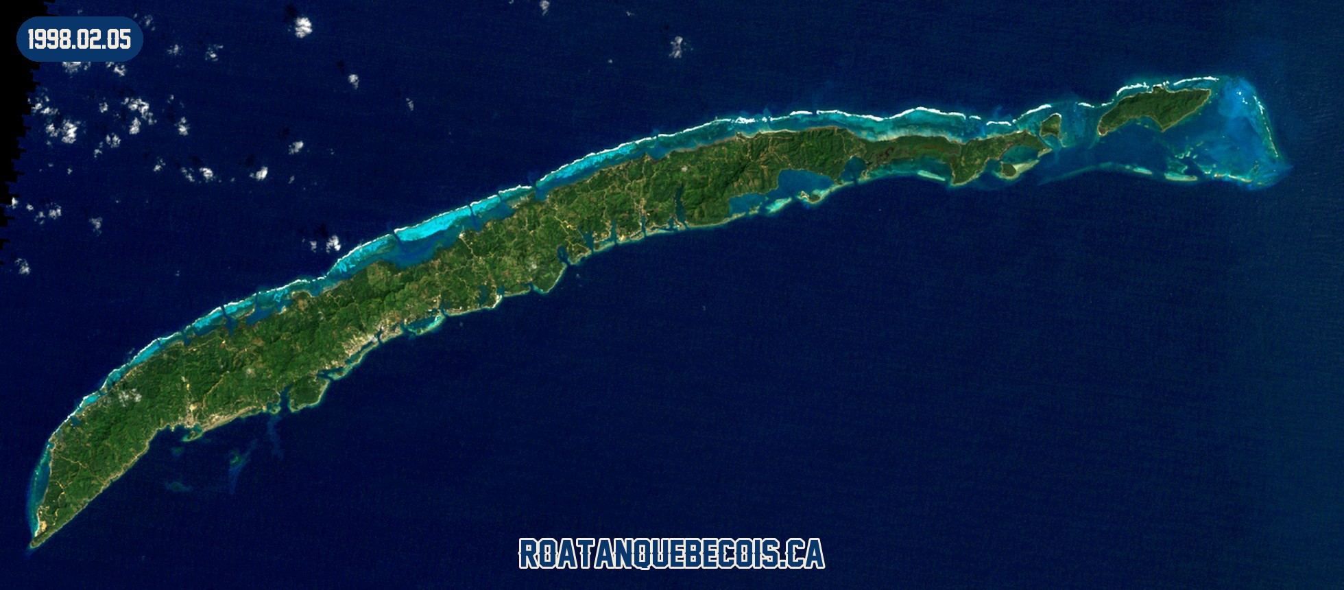
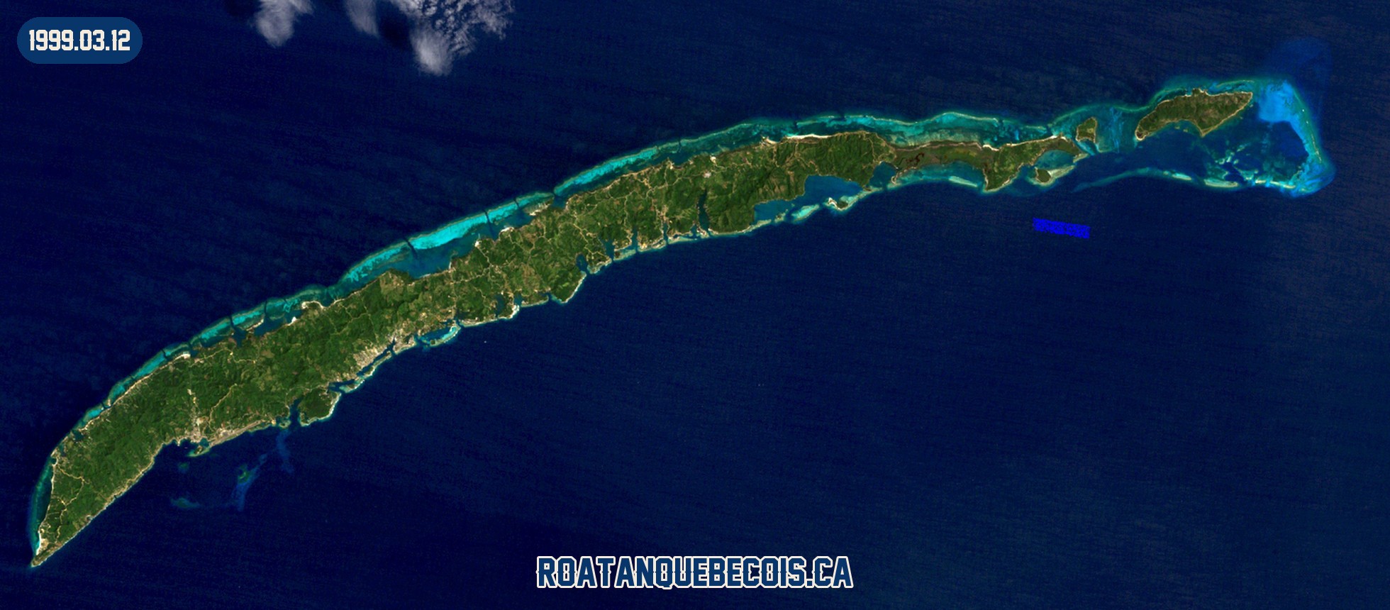
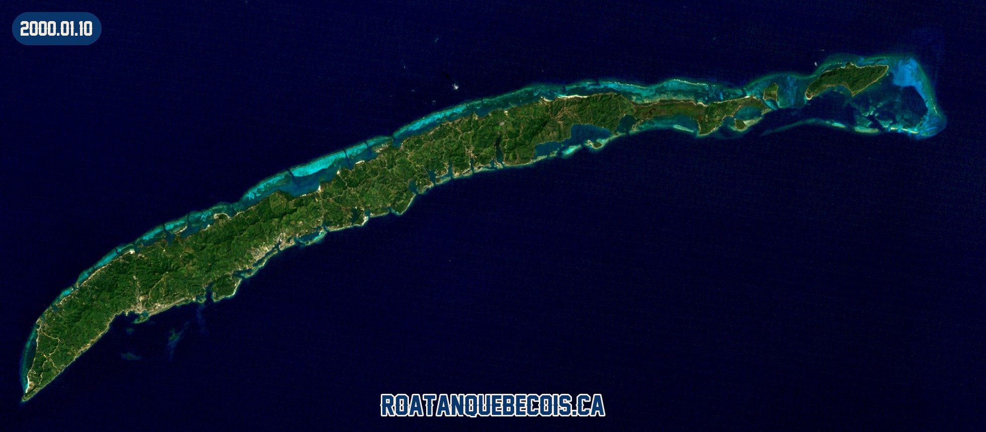
Roatán satellite map: 50 years from space, 1973-2026
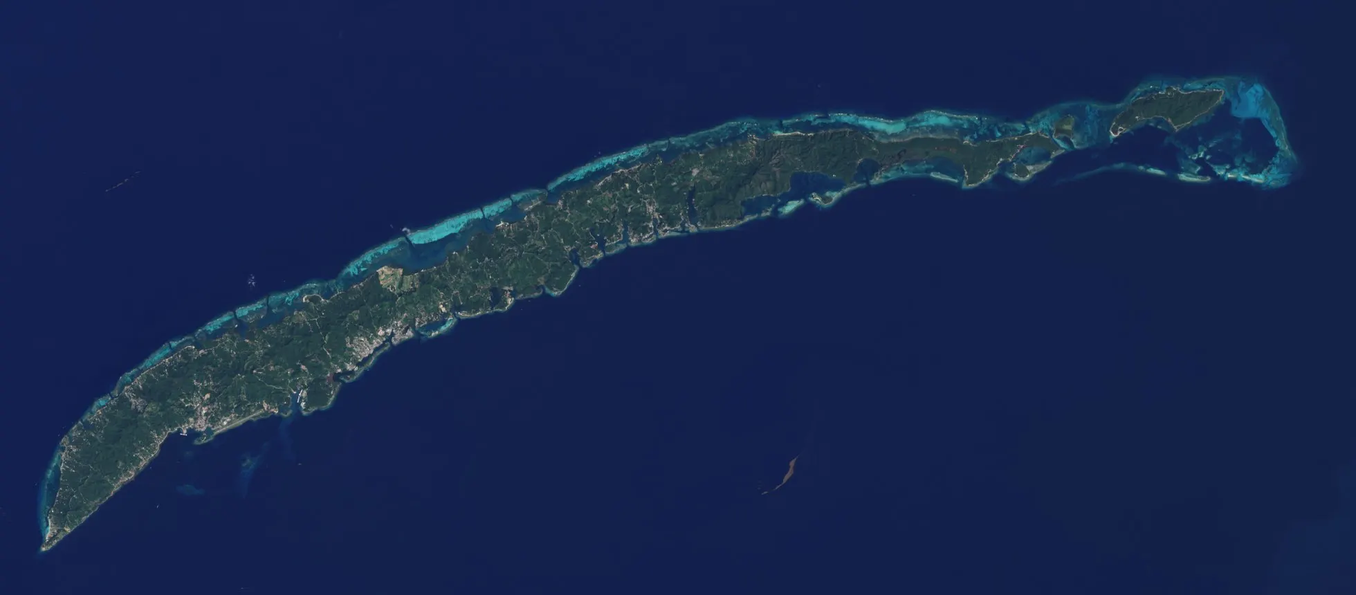
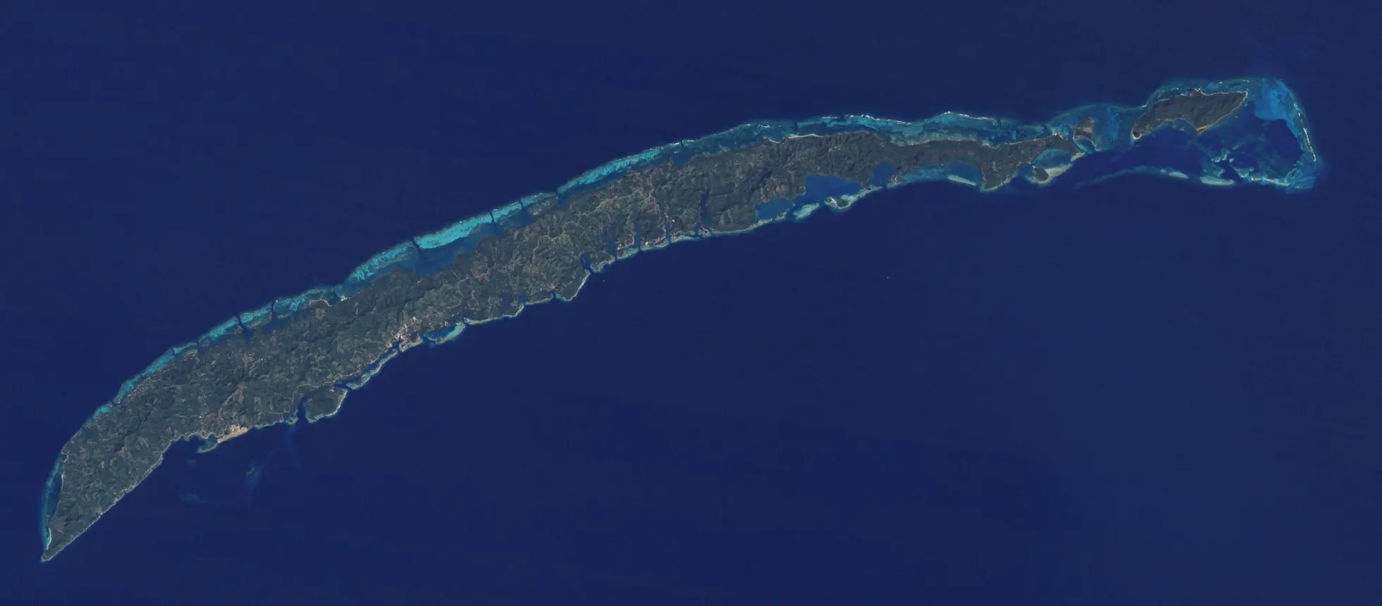
Some things you feel by living on an island. Others you only see from above. In 2016, NASA’s Earth Observatory published a comparison of Roatán in 1985 and in 2015, seen from orbit. Thirty years apart, two images, and a portrait no beach photo will ever give you.
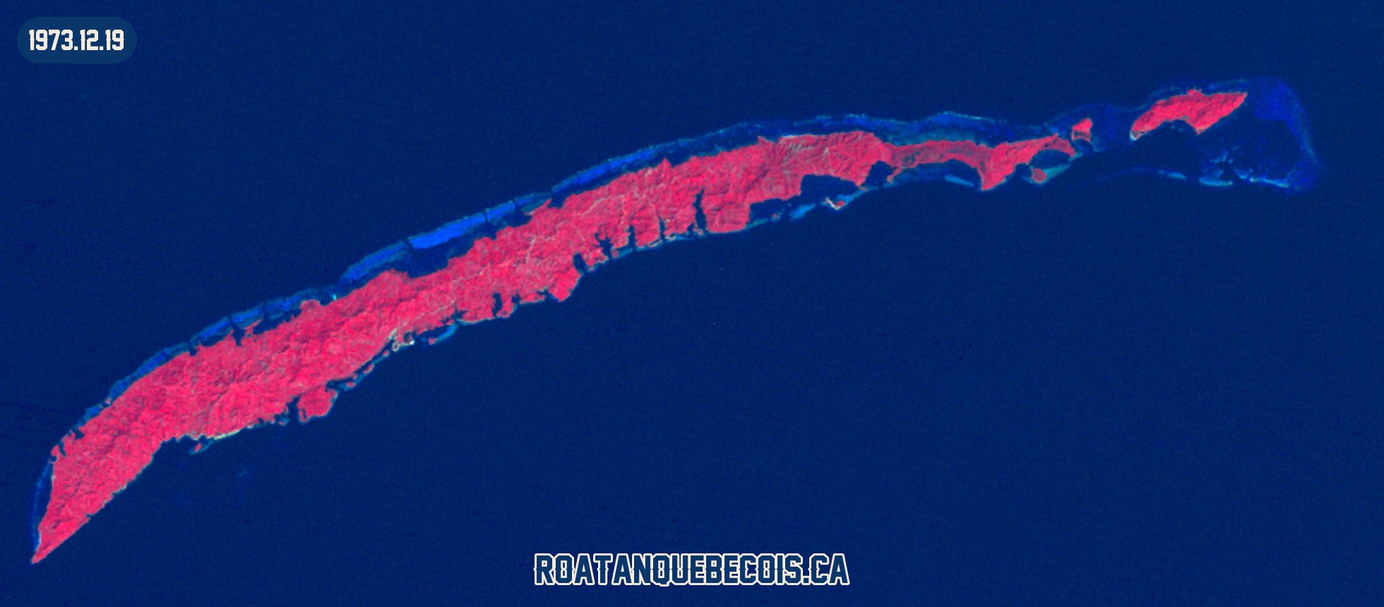
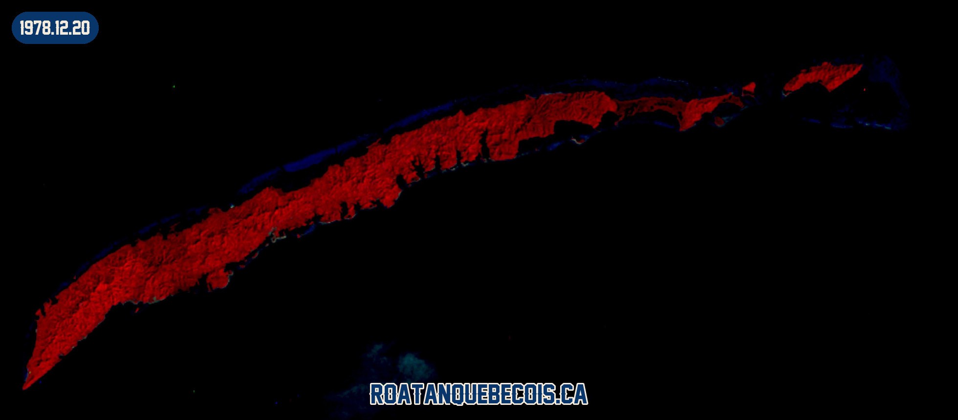
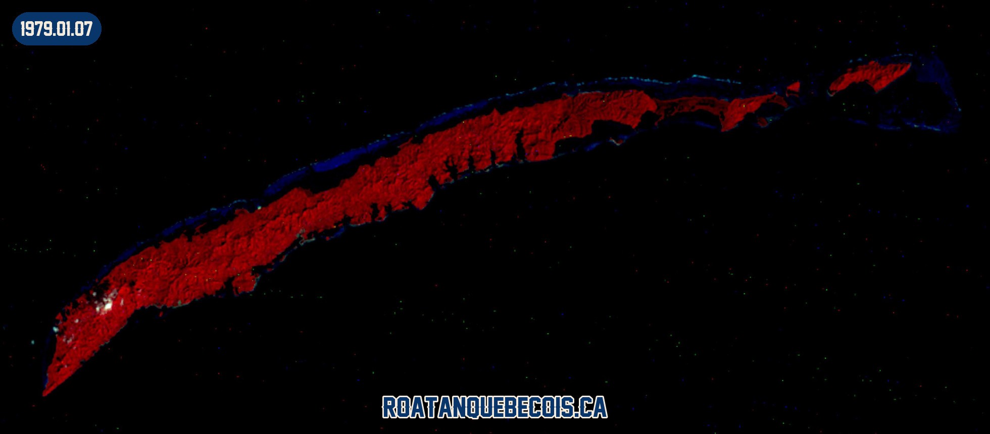
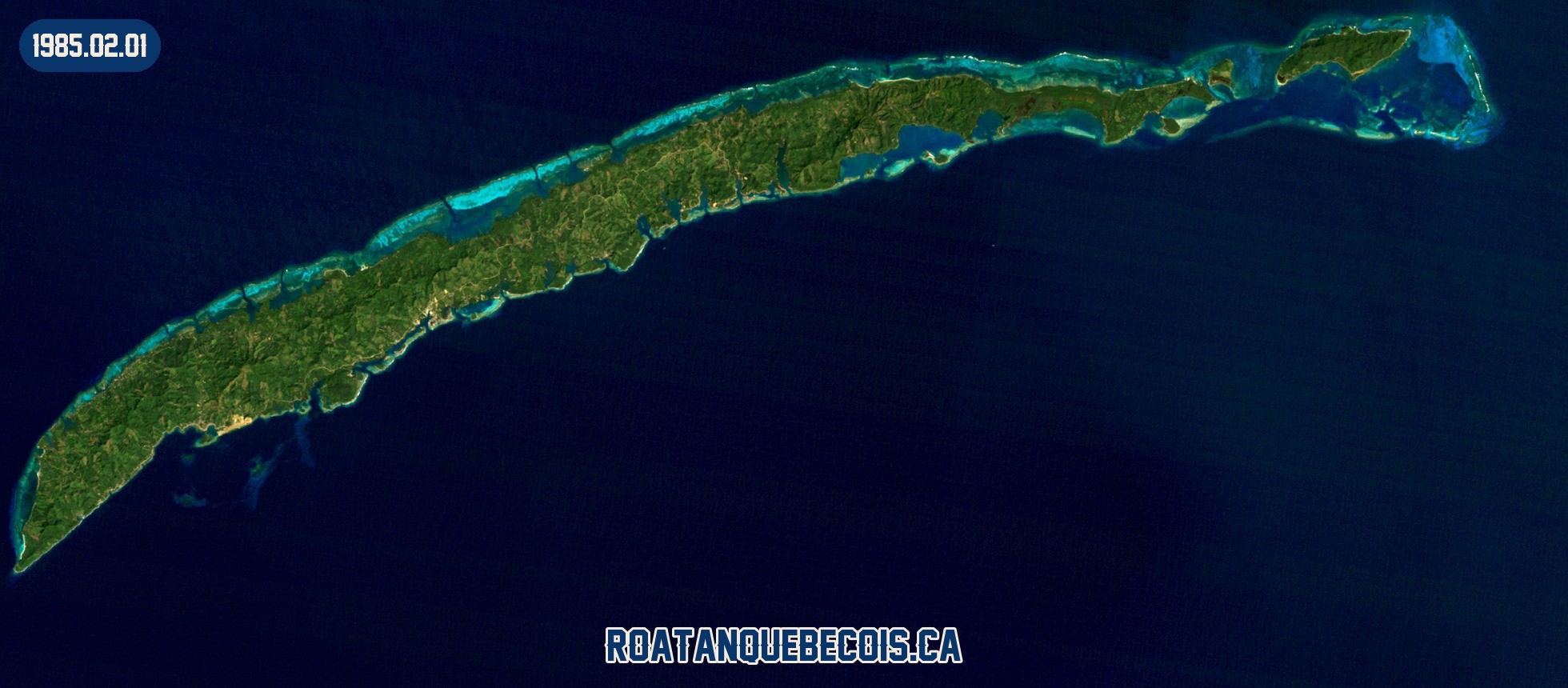
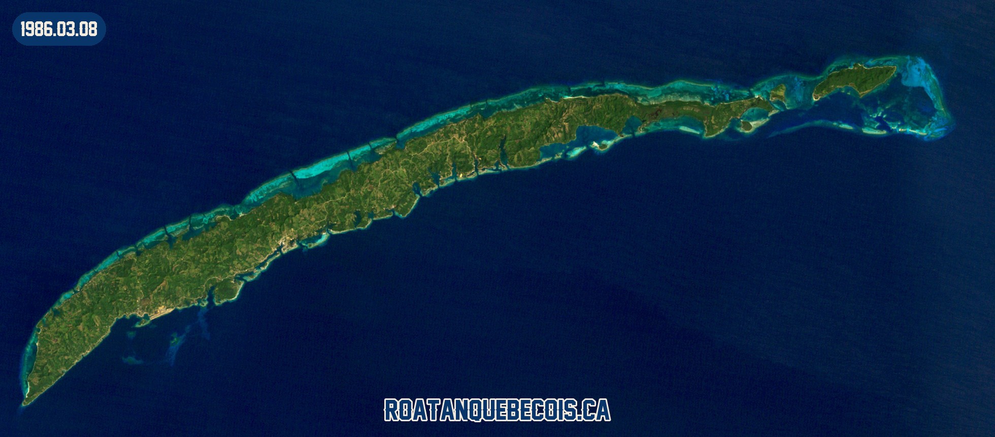
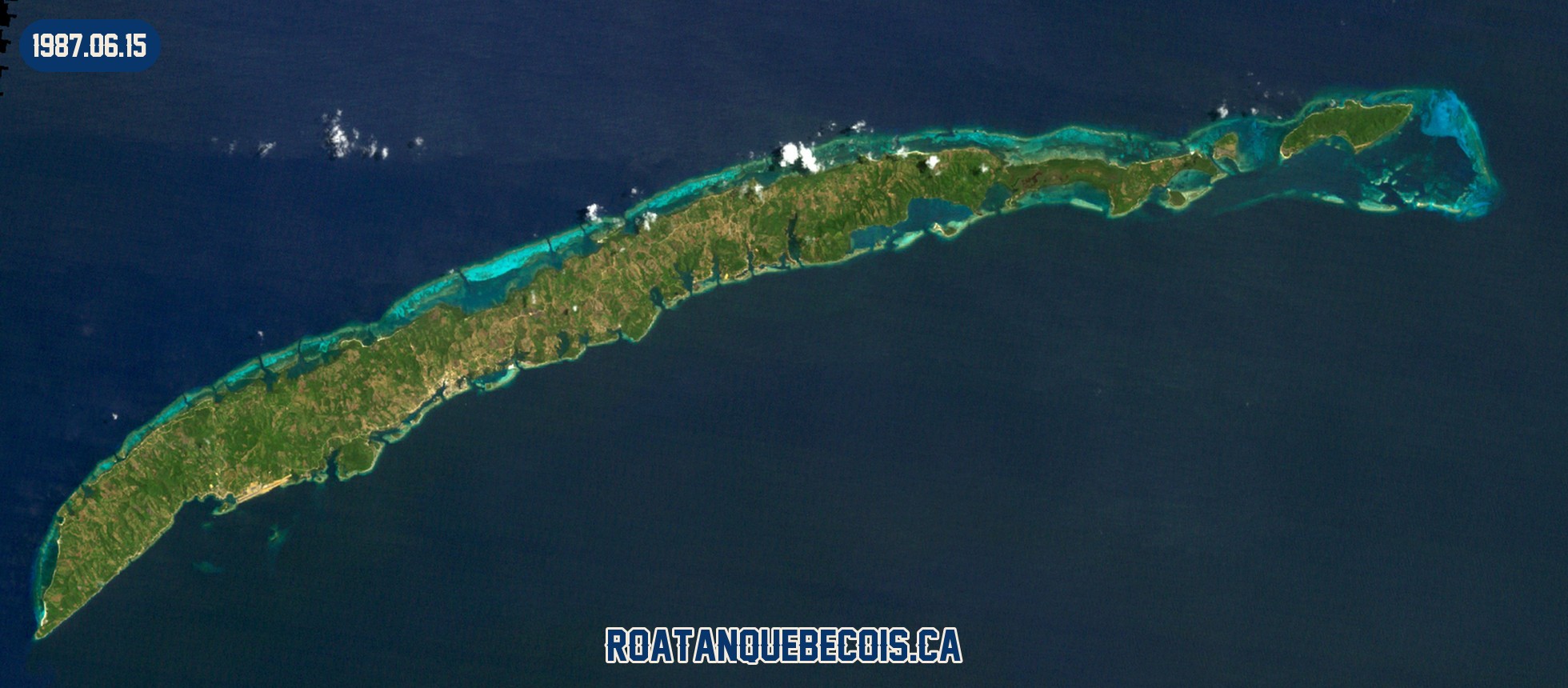
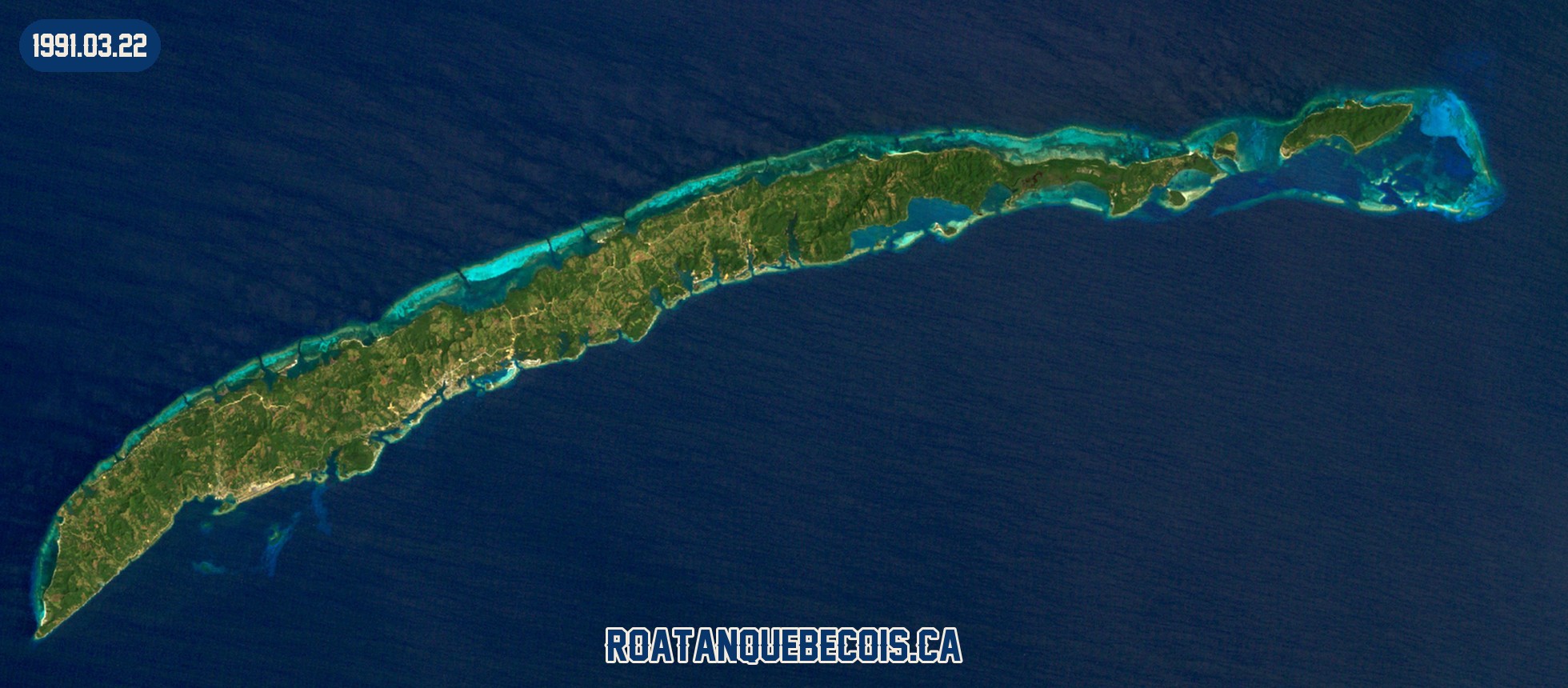
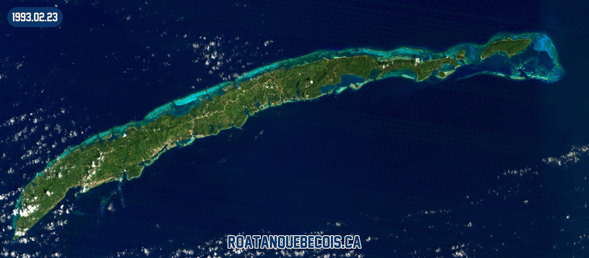
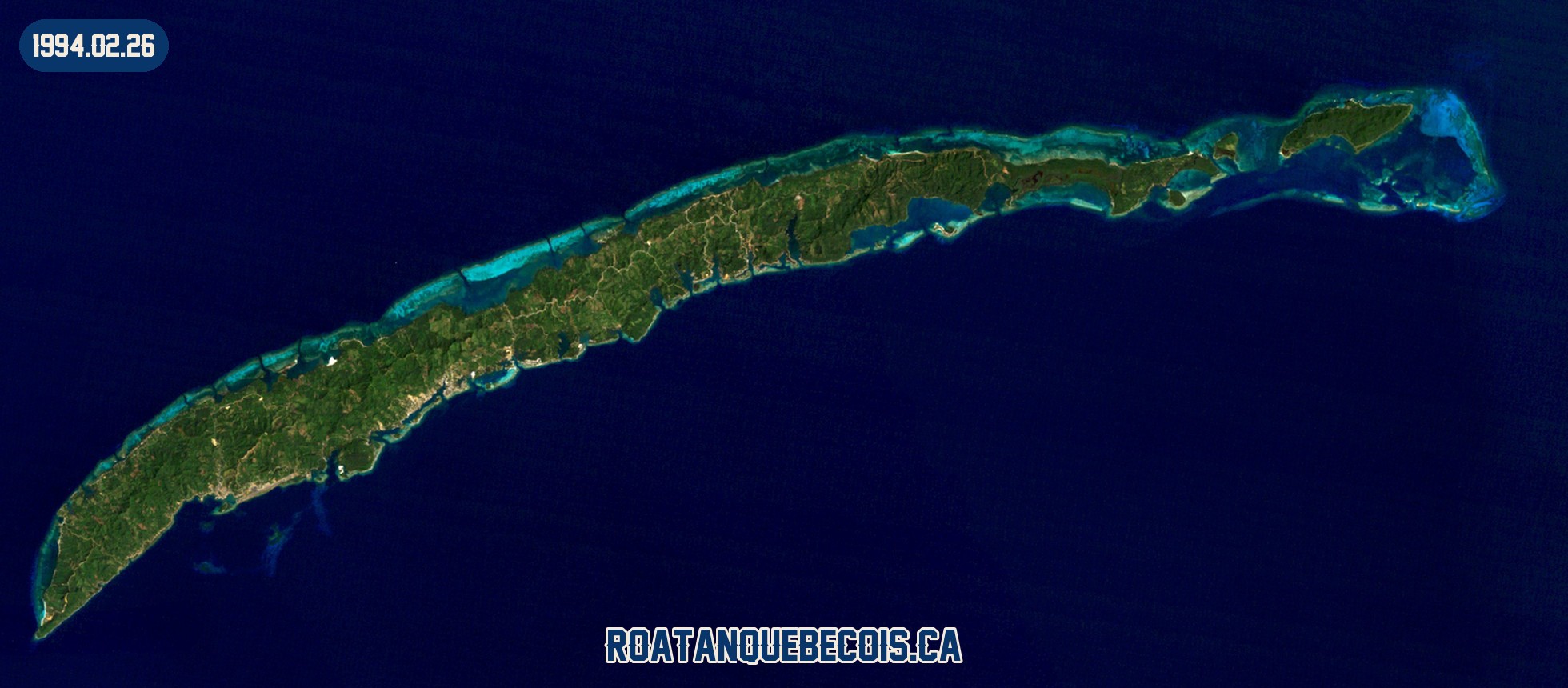
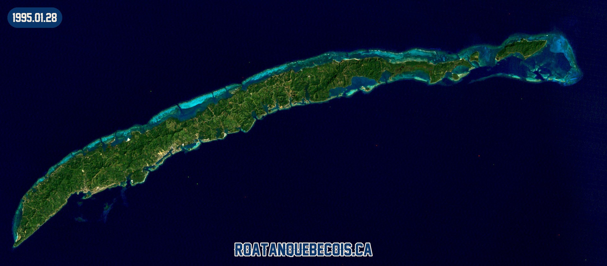
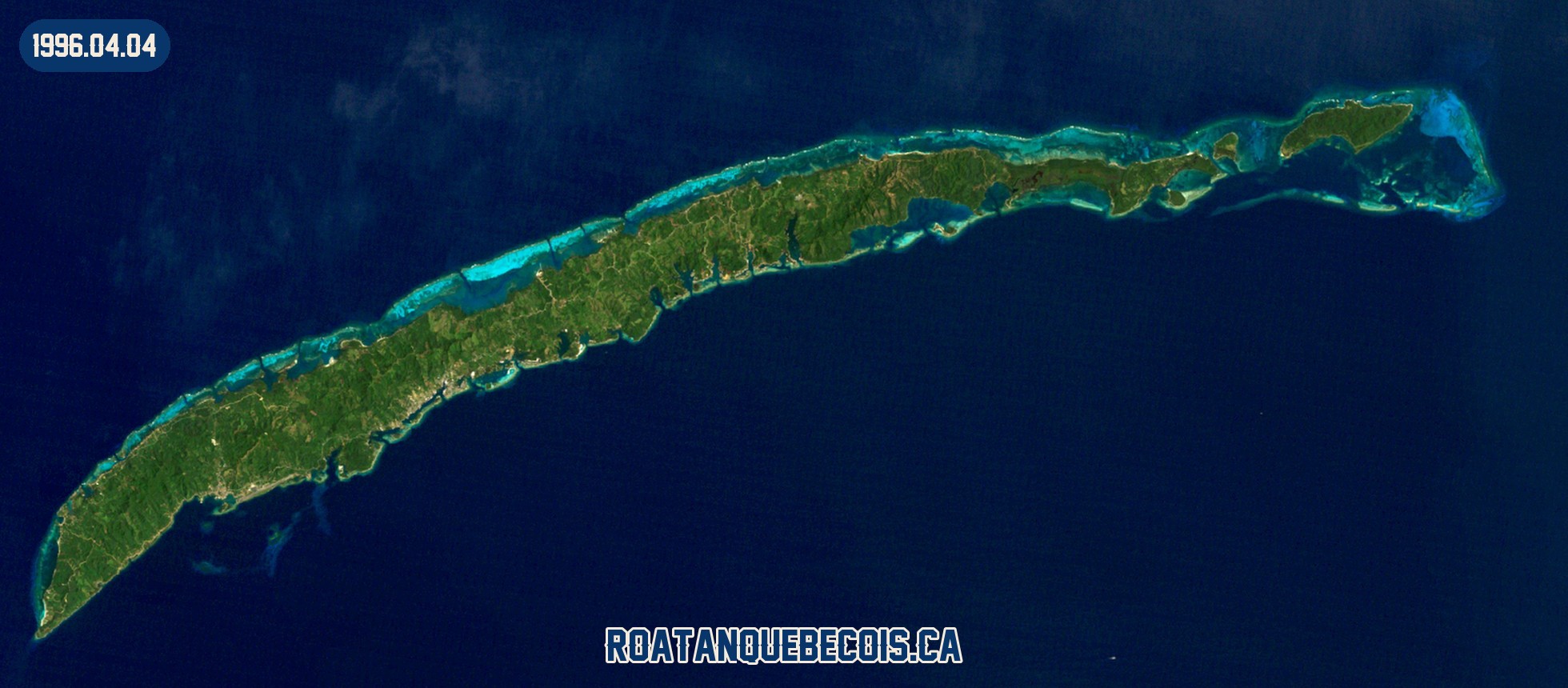
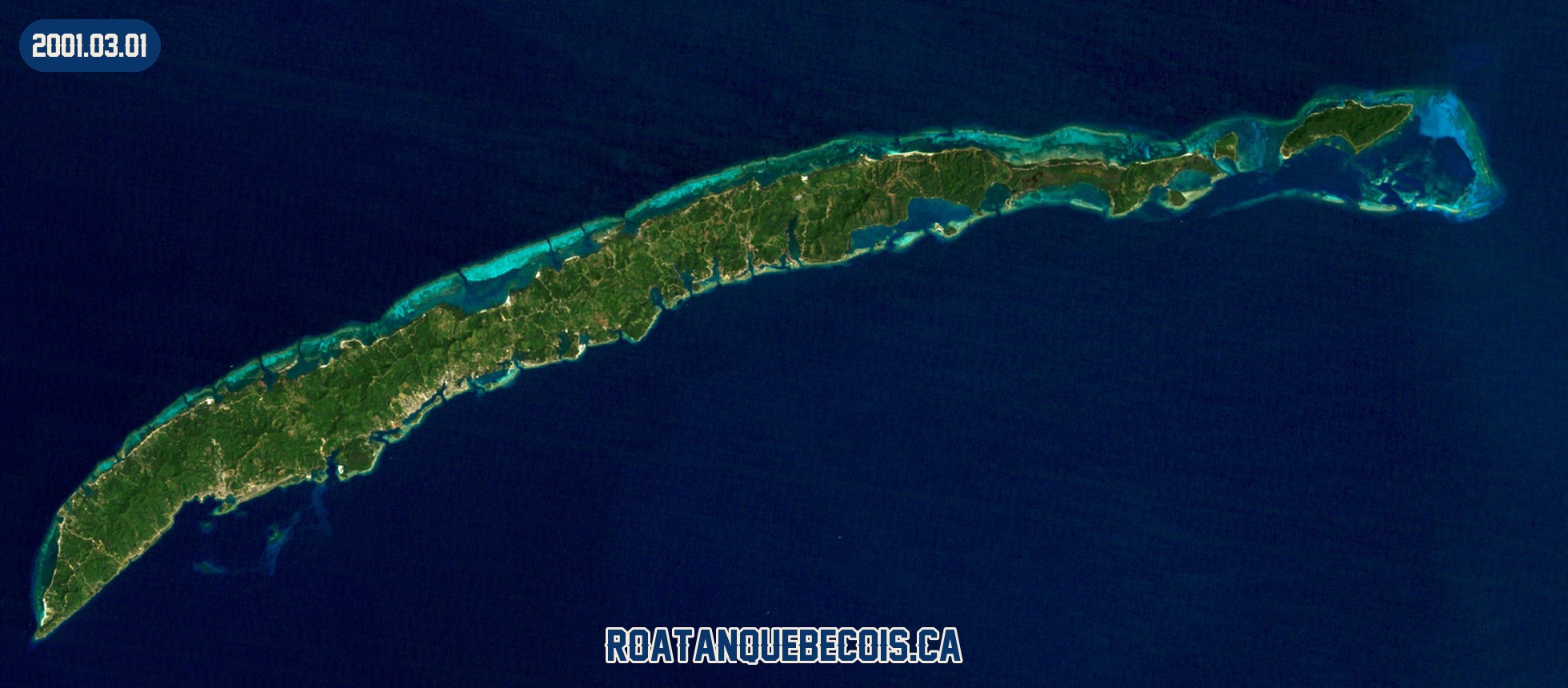
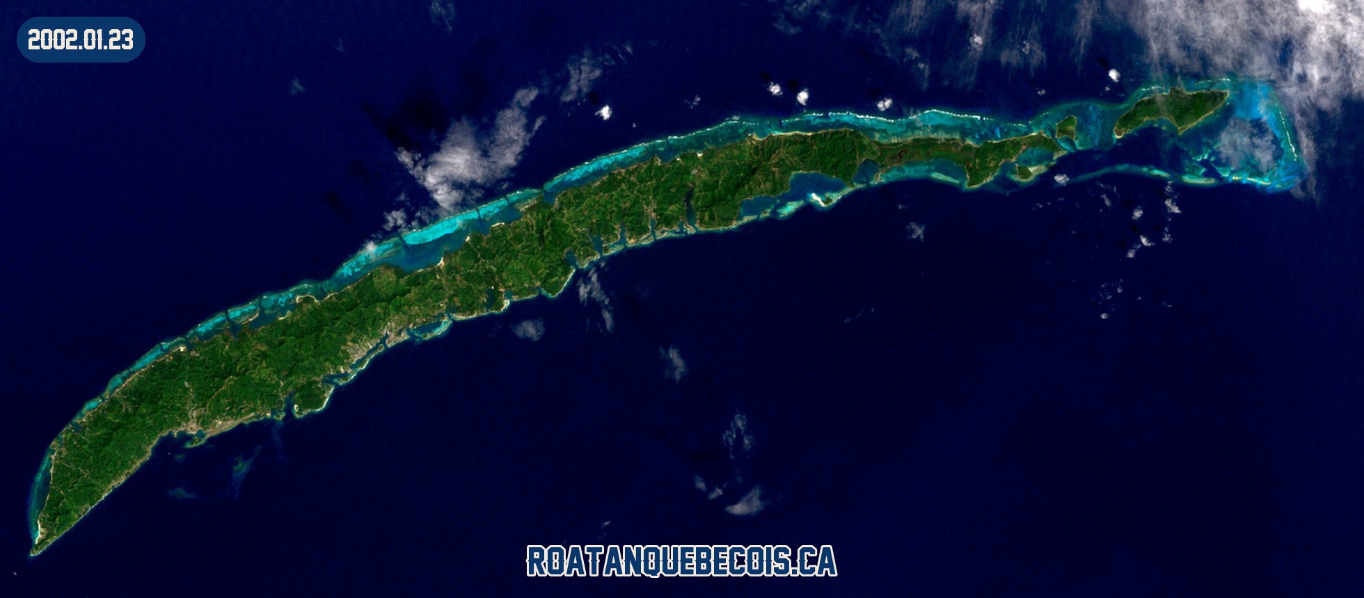
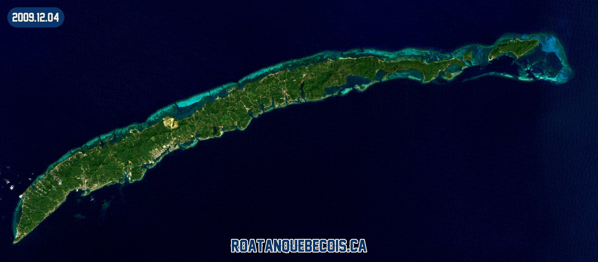
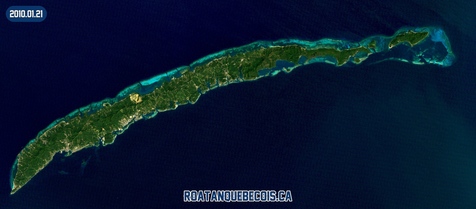
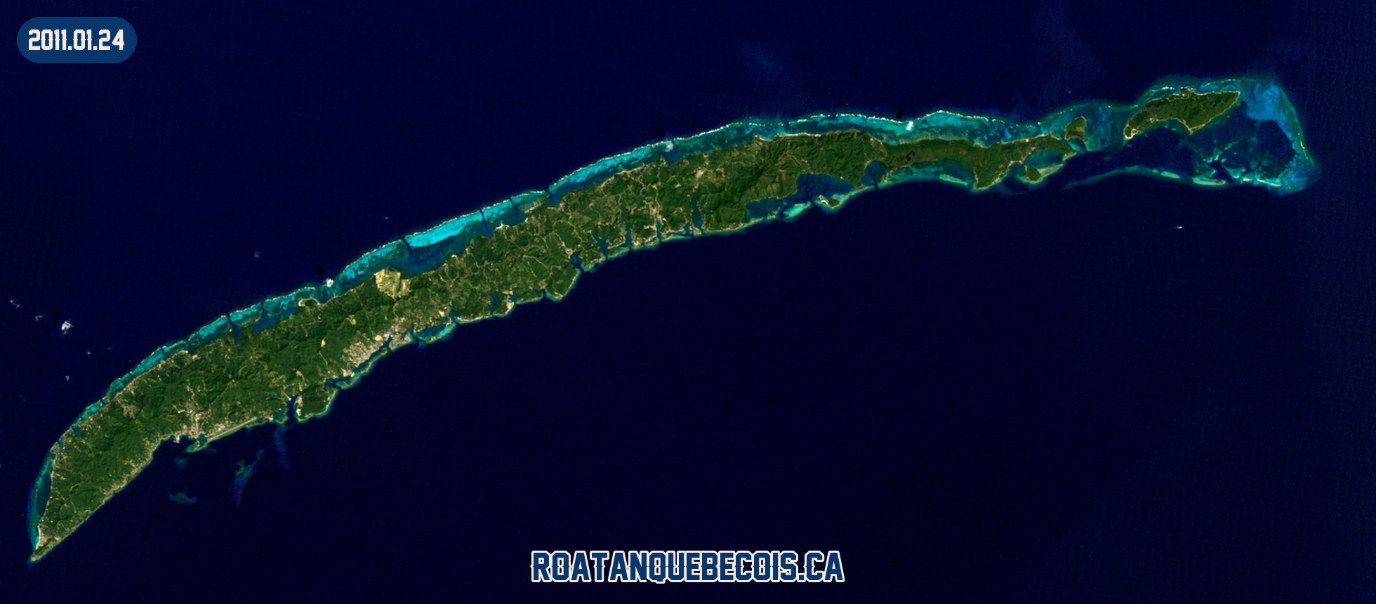
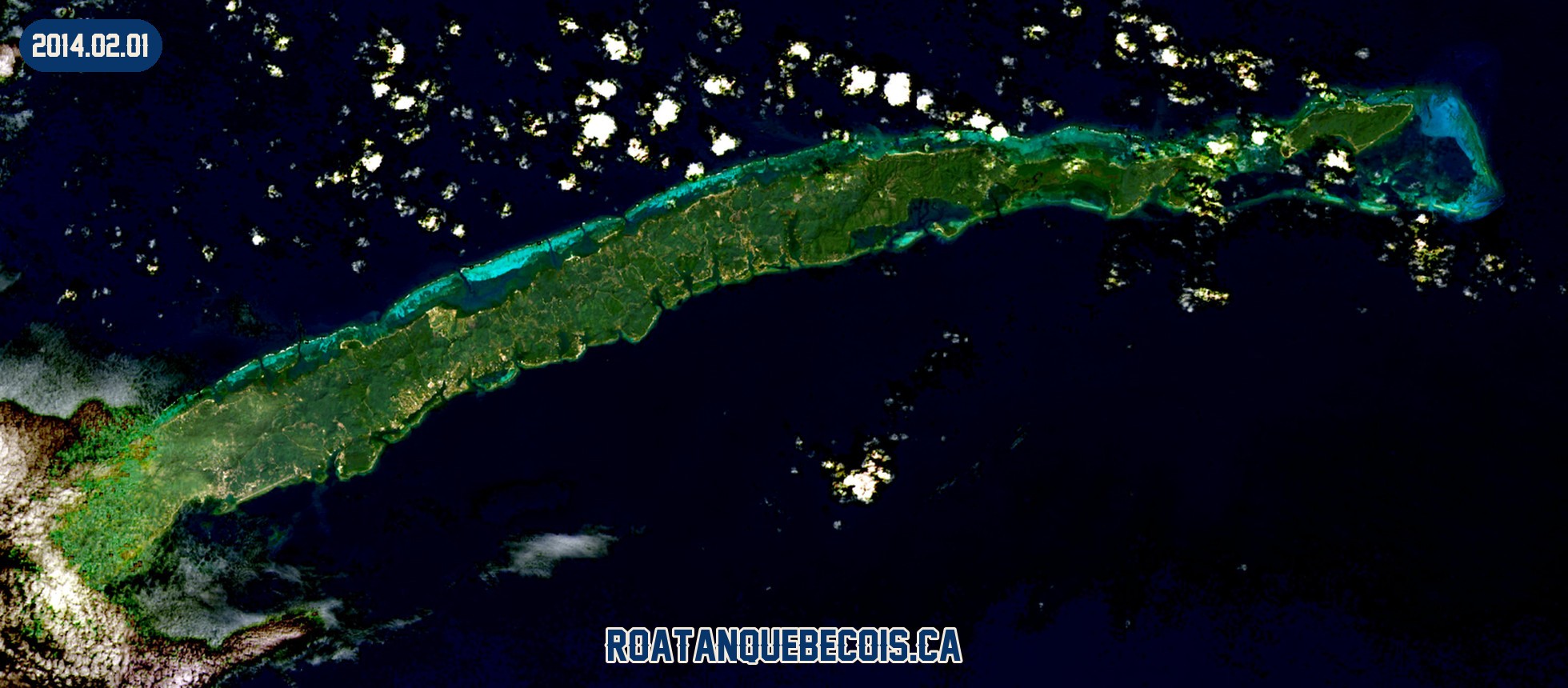
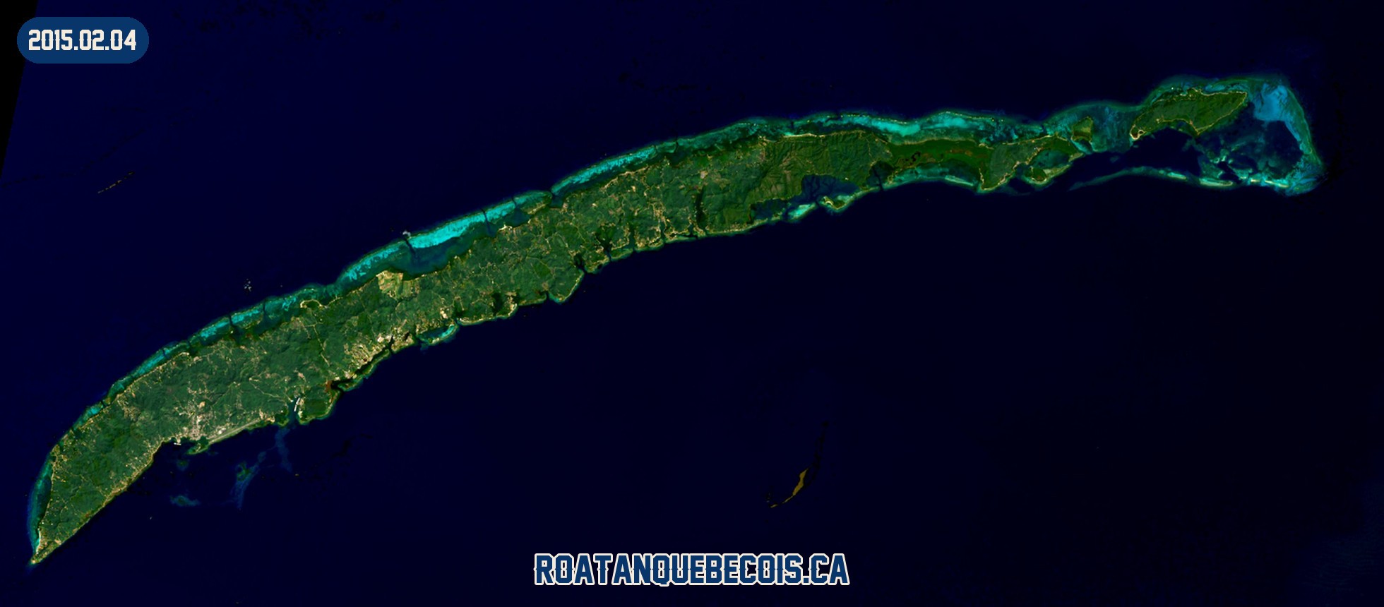
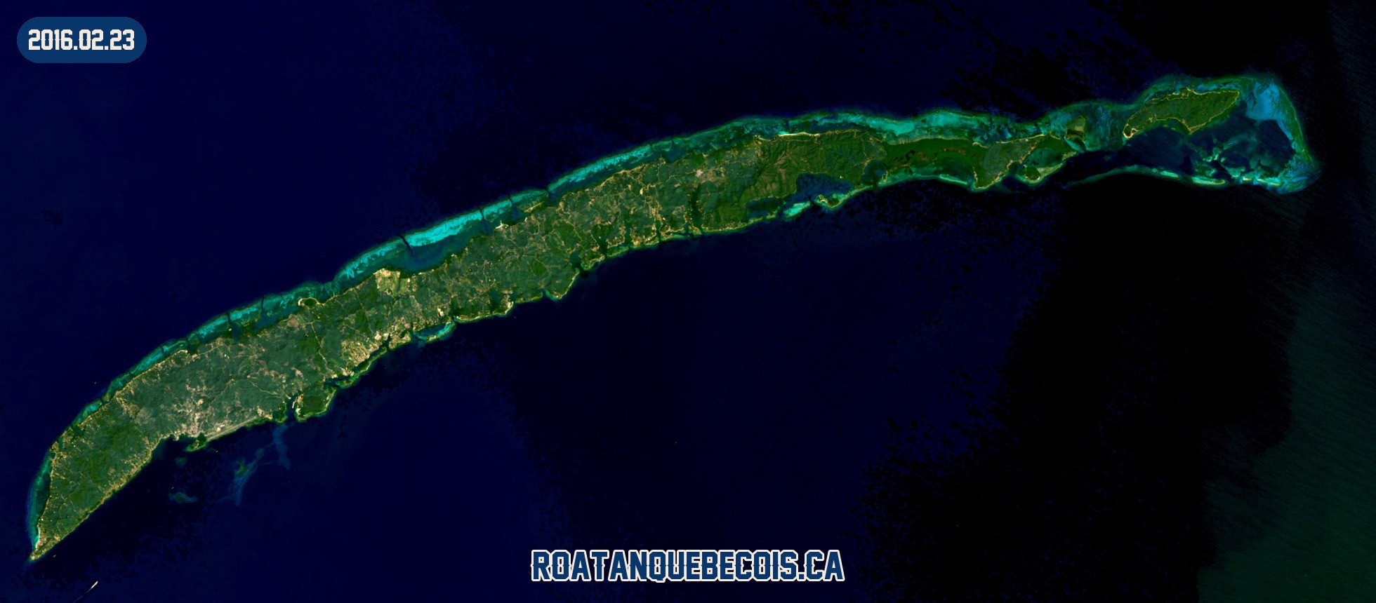
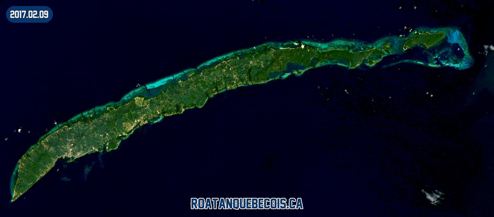
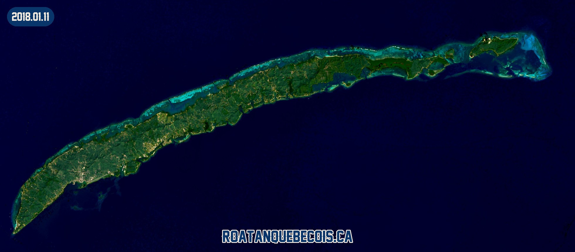
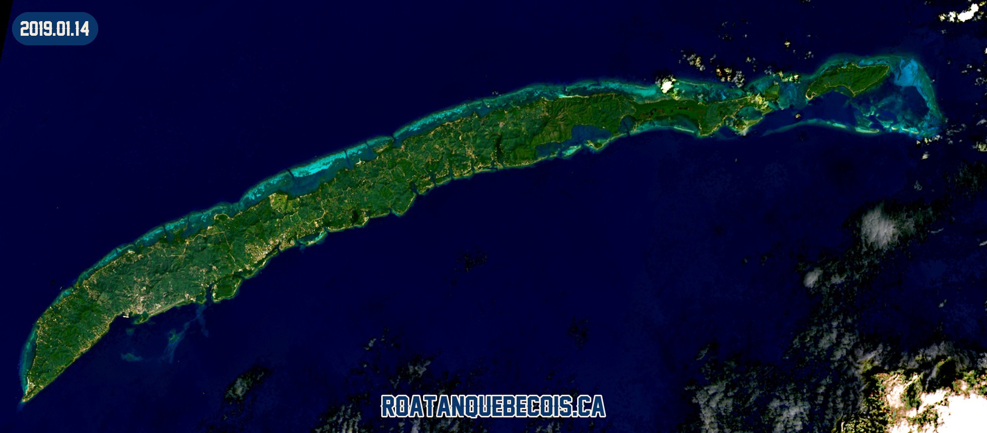
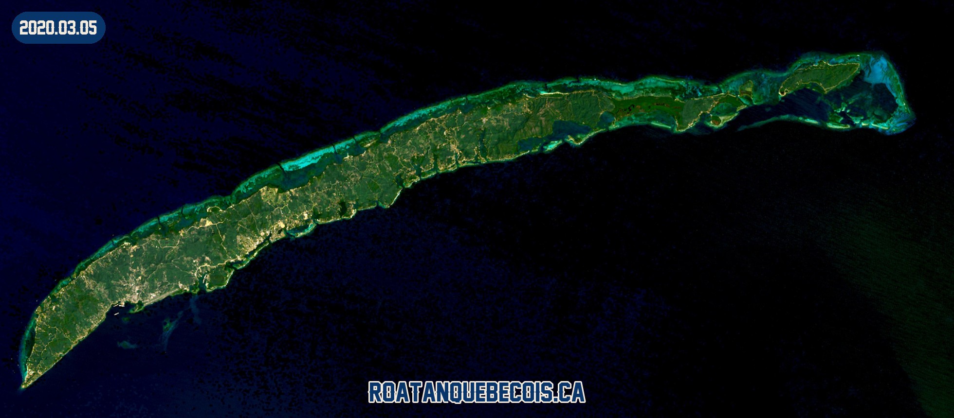
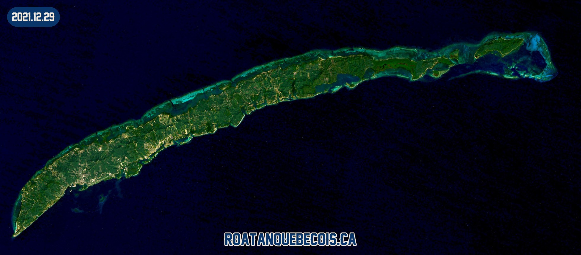
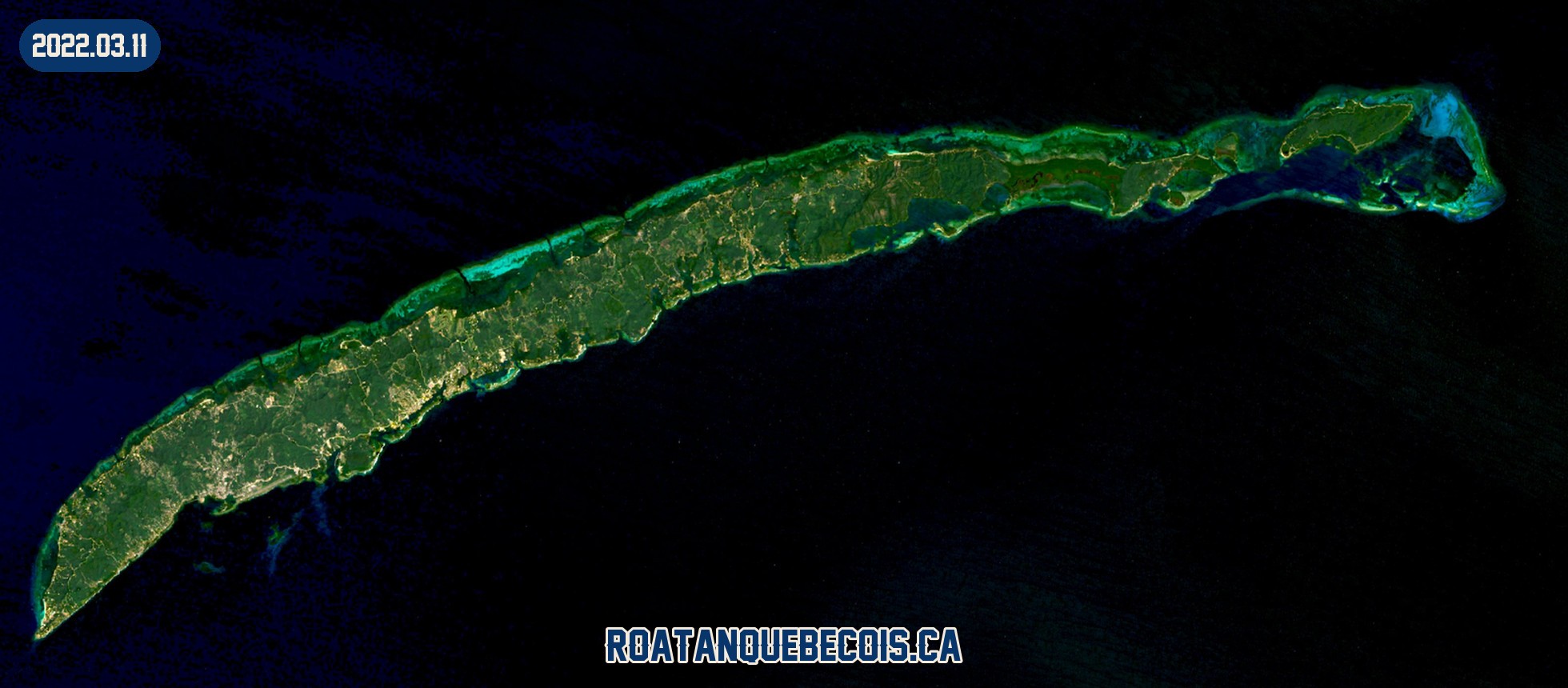
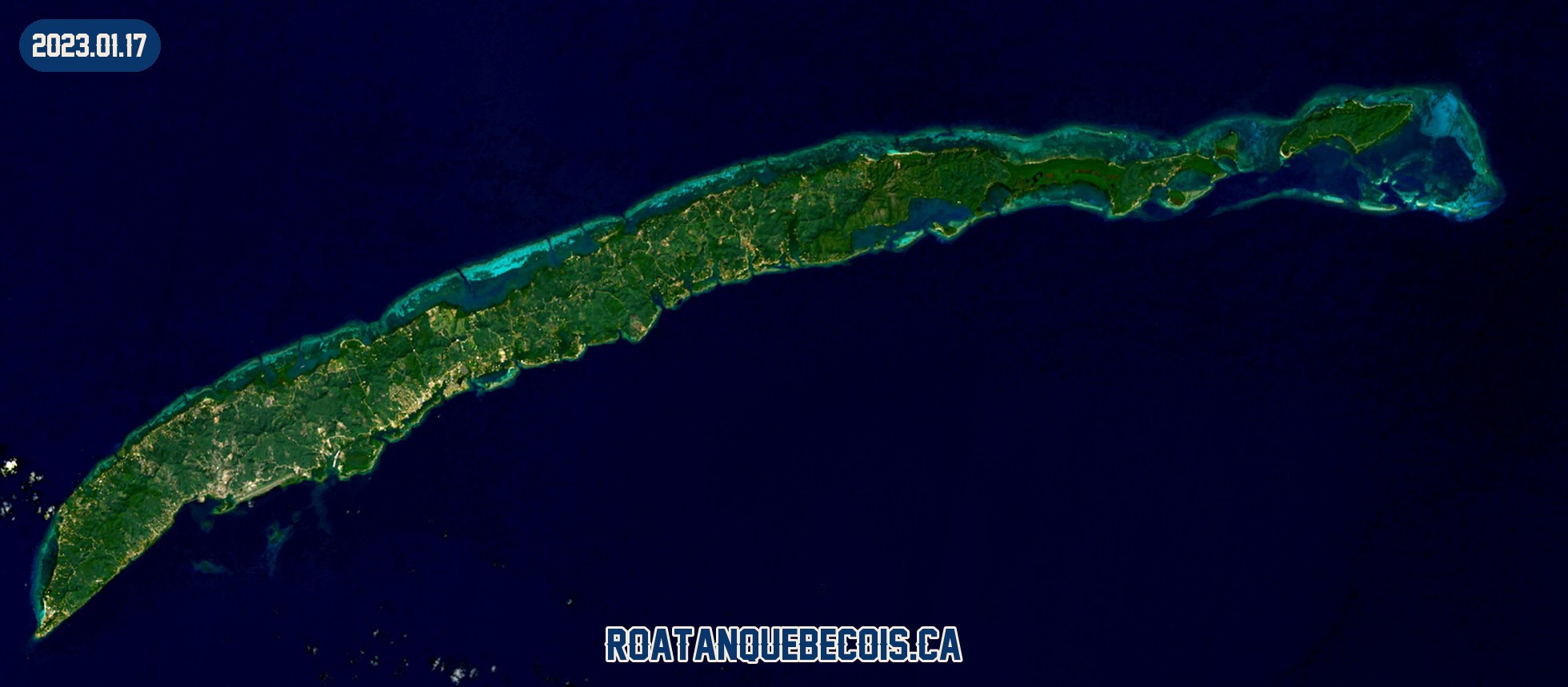
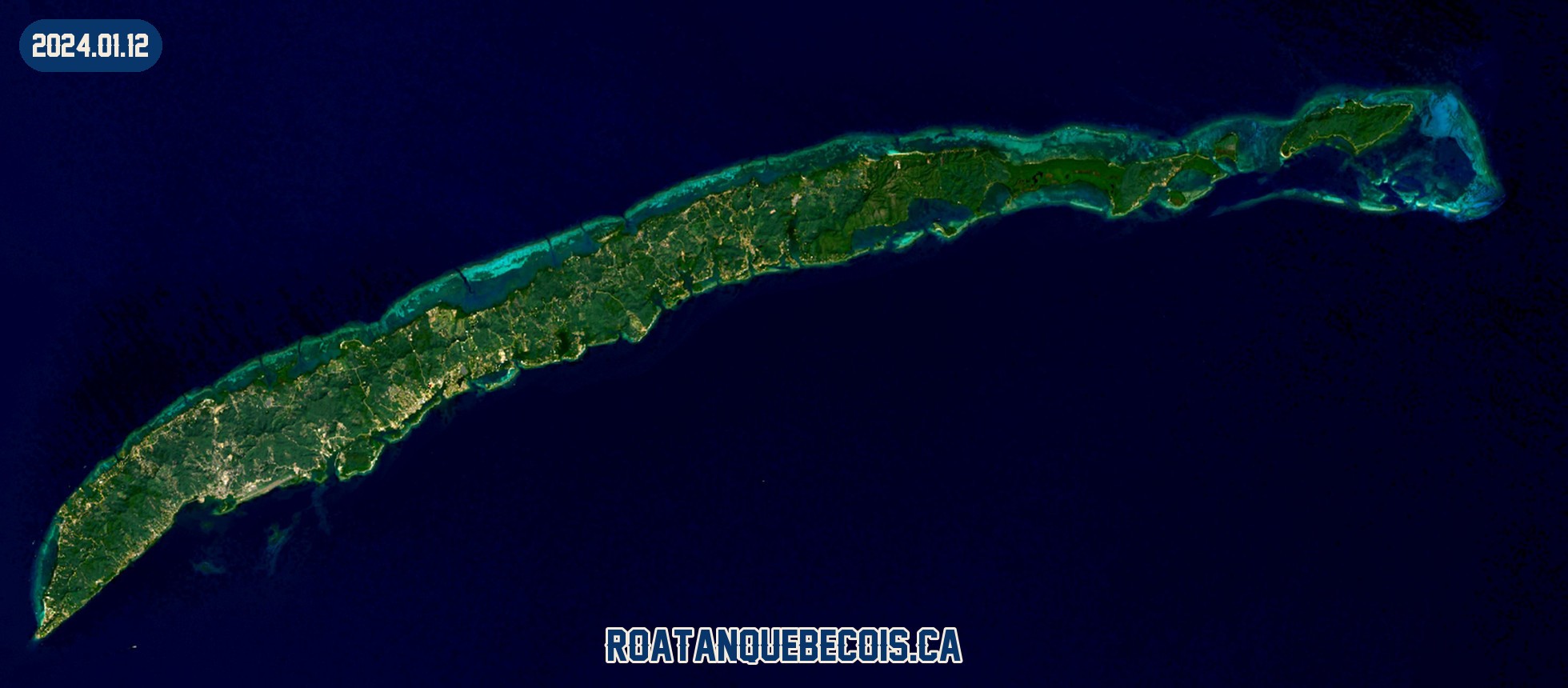
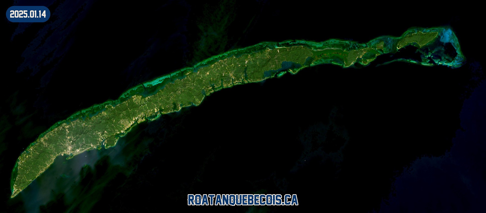
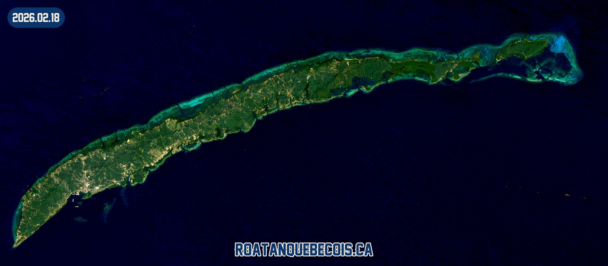
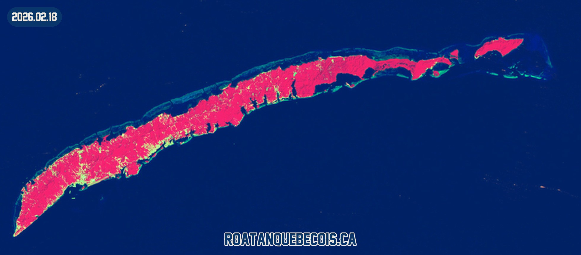
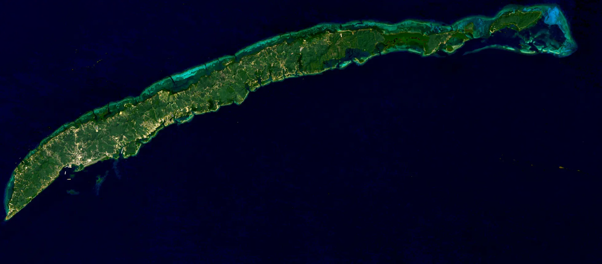
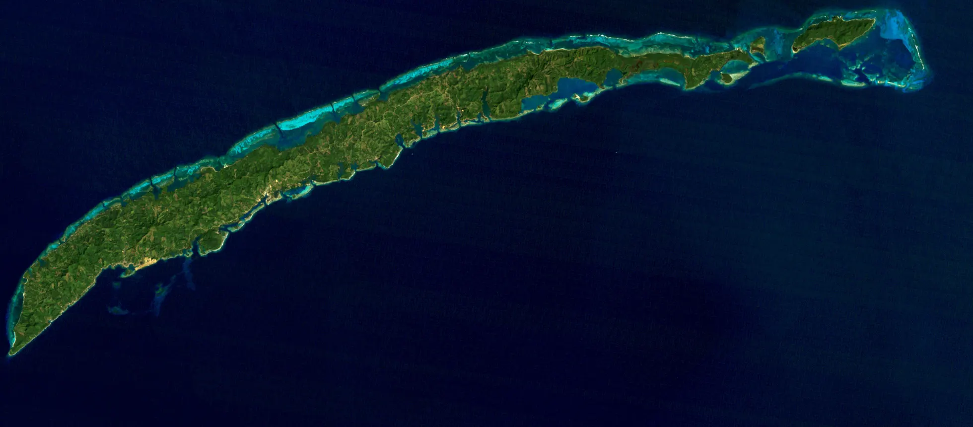
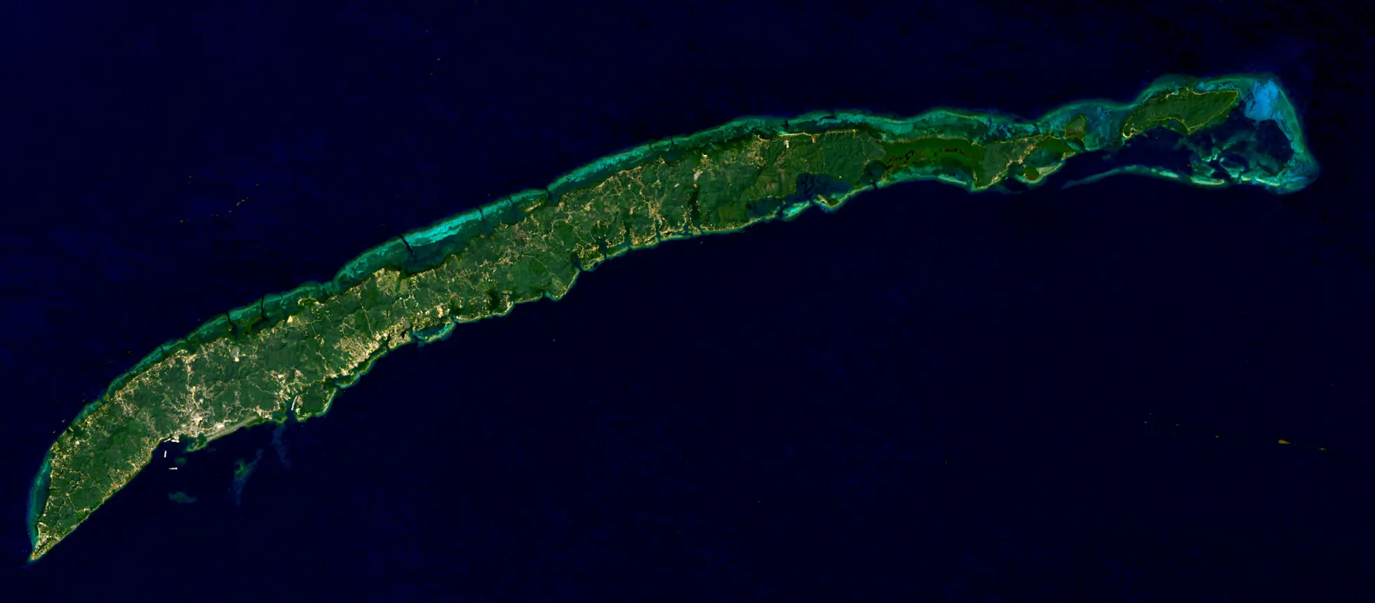
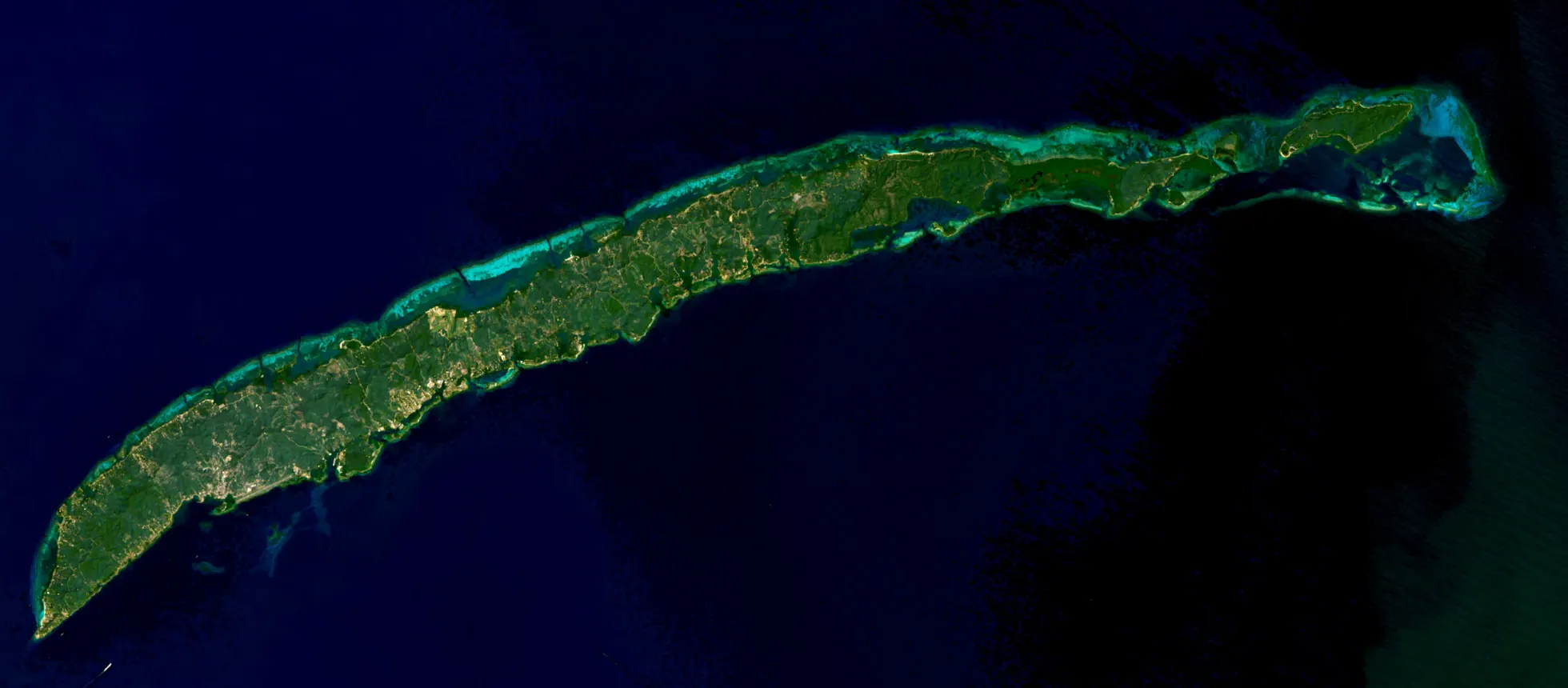
NASA stopped in 2015. We went back to 1973, the oldest usable satellite image of the island, and forward to February 18, 2026: fifty-three years, four sliders, with the 1973, 1985, 2016 and 2026 frames composed here from raw USGS data.
I have lived here since December 2014. I have watched the island change at eye level. Seeing the same story written in pixels by a satellite is something else entirely.
Two satellites, thirty years apart
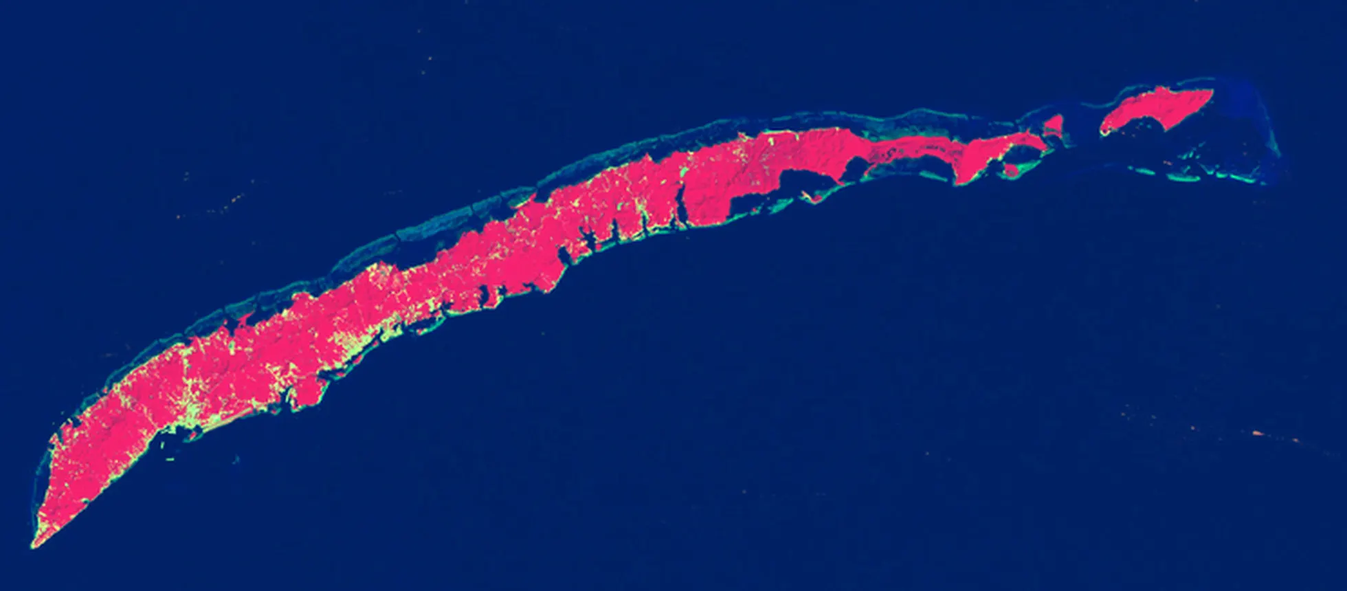
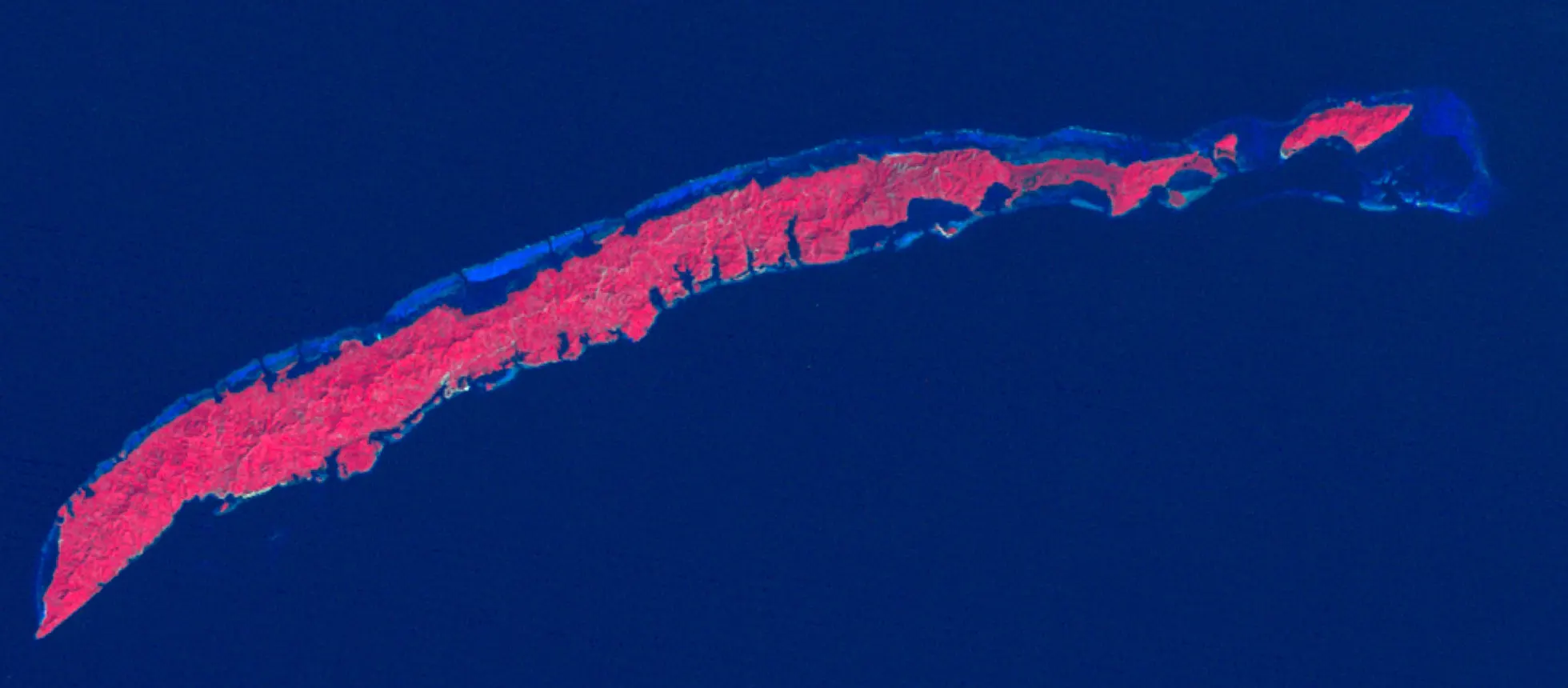
The slider above holds the two original images, cropped to the island. To the left of the curtain, the Thematic Mapper on Landsat 5, on February 1, 1985. To the right, the Operational Land Imager on Landsat 8, on February 5, 2015. Same frame, same season, thirty years between them.
Once you know the colour code, it reads itself:
- turquoise is the coral reef and the shallow marine areas;
- navy blue is deep water;
- green is the mountainous, forested interior;
- grey is the built environment.
The grey is the story. In 1985 it fits in a few patches. By 2015 it runs along the coastlines. Drag the curtain slowly across the western tip, on the left: that is where thirty years land all at once.
The numbers behind the picture
NASA lines them up without commentary, and they hit harder that way.
Visitors:
- 1970: roughly 900 people visit the island in a year.
- 2000: 100,000 visitors.
- 2010: more than one million a year.
That curve has a name: cruising. Since 2000, the number of ships arriving at Roatán’s ports has more than quadrupled.
Residents:
The Honduran government’s 2014 census counts 109,000 people on the island. That is four times the 2001 figure. Tourism did not just bring visitors, it brought a population that came here to work and to live.
Built land:
Cascade Tuholske, a geographer at the University of California, Santa Barbara, analysed the Landsat data. His preliminary result: “the built environment on the island increased by 300 percent between 1985 and 2014.”
Where the change concentrated
Almost all of it happened in the west of the island, and NASA names the places:
- the footprint of towns such as Coxen Hole and French Harbour increased substantially;
- new cruise ship terminals near Coxen Hole and at Mahogany Bay became the island’s main gateways;
- a large luxury golf resort was built near Pristine Bay;
- expanding the airport increased the number and size of airplanes that can reach the island.
That last line is the one you use directly: it is what makes a direct flight from North America possible.
The contradiction the brochures never mention
This is the most interesting part of the analysis, and Tuholske is the one who puts words to it:
“There is an interesting contradiction playing out on Roatán. On the northern coast in the areas of Sandy Bay and West End, the island’s development has led to increased marine conservation awareness and the establishment of marine protected areas. On the southern coast, the boom in tourism is causing increased ecosystem damage through the cutting of mangroves, sewage runoff, and increased garbage.”
In other words: the same tourism protects one side of the island and damages the other. This is not an island that is doing well or badly. It is an island running at two speeds, and which side you set foot on is not a detail.
Tuholske adds a public health angle I have never seen in a travel brochure: “This ecological change is correlated to an increased burden of disease, in part due to fecal contamination of water caused by development without proper water and sanitation improvements.” He also points to a possible link with rising mosquito-borne illness such as dengue and chikungunya.
None of this is a reason to stay away. Hundreds of thousands of people have a perfect holiday here every year. It is a reason to drink bottled water, use repellent, and choose places that take their water treatment seriously, which is what you would do in any tropical destination anyway.
What it changes for your trip
Fifty years of satellite imagery turns into very practical decisions when you plan.
1. The west is built up, the east is not. The pale ground in the 2026 image stops. The whole east end of the island is still green, and that is where you find days that still look like the Roatán of 1985. It is exactly why our trips to the eastern reefs exist.
2. Cruise days change the island. When four ships dock on the same morning, West Bay and the headline sites are not the same place they were the day before. Checking the ship calendar before you book an excursion is the highest-return move in your whole plan.
3. Conservation exists, and it has an address. Sandy Bay and West End did not become protected areas by accident. Choosing operators who respect mooring zones and do not feed the wildlife is what decides which side of the contradiction your money lands on.
4. Roatán is not a secret any more, and that is fine. A million visitors a year means roads, an expanded airport, private hospitals, direct flights. The challenge today is no longer finding the island. It is visiting it without becoming part of the problem.
See the images for yourself
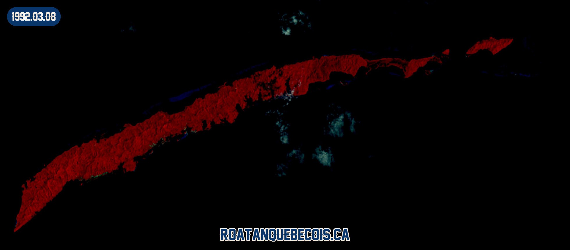
The first slider uses the original public-domain images published by NASA. The other three are our own composites, built from raw USGS data, and the gallery below lets you download them at full resolution, each one dated. The full article is worth the two minutes: How Tourism Changed the Face of Roatán, NASA Earth Observatory, February 24, 2016, caption by Adam Voiland.
The island next door, for comparison
If you want to see what a Bay Island looks like when it did not take this road, it is right to the east: Guanaja, seen from the space station. No roads, a canal to cross it, and an entire village on a cay 500 metres across.
Sources
- NASA Earth Observatory, How Tourism Changed the Face of Roatán, February 24, 2016 (Landsat 5 image from February 1, 1985 and Landsat 8 image from February 5, 2015).
- Tuholske, C. et al., Anthropomorphic impacts on Roatán, Honduras: 30 Years of Land-Cover and Land-Use Change, Plurimondi, (7) 15, 1-7.
- Dorian, S. & Wessenberger, S., Sustainable dive tourism: Social and environmental impacts, The case of Roatan, Honduras, Tourism Management Perspectives, 10, 19-26, April 10, 2014.
- Bay Islands Voice, Roatán Population Tops 100,000, May 7, 2014.
Planning a trip and want to spend it on the right side of this story? I live here and I build the days accordingly, in English, French or Spanish. Write to me or have a look at our tours.
Frequently asked questions
What do NASA's satellite images show about Roatán?
NASA set a Landsat 5 image from February 1, 1985 beside a Landsat 8 image from February 5, 2015. Between the two, the grey built-up areas expanded dramatically, above all in the west of the island, around Coxen Hole, French Harbour, Mahogany Bay and Pristine Bay.
How much has development on Roatán increased?
A preliminary analysis of Landsat data by Cascade Tuholske, a geographer at the University of California, Santa Barbara, puts the growth of the built environment at 300% between 1985 and 2014.
How many tourists visit Roatán each year?
About 900 people in 1970, 100,000 in 2000, and more than one million a year by 2010. Most of that growth came from cruising: the number of ships arriving at Roatán's ports has more than quadrupled since 2000.
What is the population of Roatán?
The Honduran government's 2014 census counted 109,000 people on the island, four times the number reported in 2001.
Is Roatán's reef in danger?
The picture differs by coast. On the north side, around Sandy Bay and West End, development has driven increased marine conservation awareness and the creation of marine protected areas. On the south coast, NASA notes rising ecosystem damage: mangrove cutting, sewage runoff and more garbage.
Does any of this change how I should plan my trip?
Yes, in a useful way. It helps you choose: the north coast is where the conservation effort is oldest, and the east end of the island remains far less built up than the west. Picking your operators and avoiding peak cruise days changes the experience completely.