The Best Beaches in Central America: 7 Countries, 7 Beaches Seen From Above
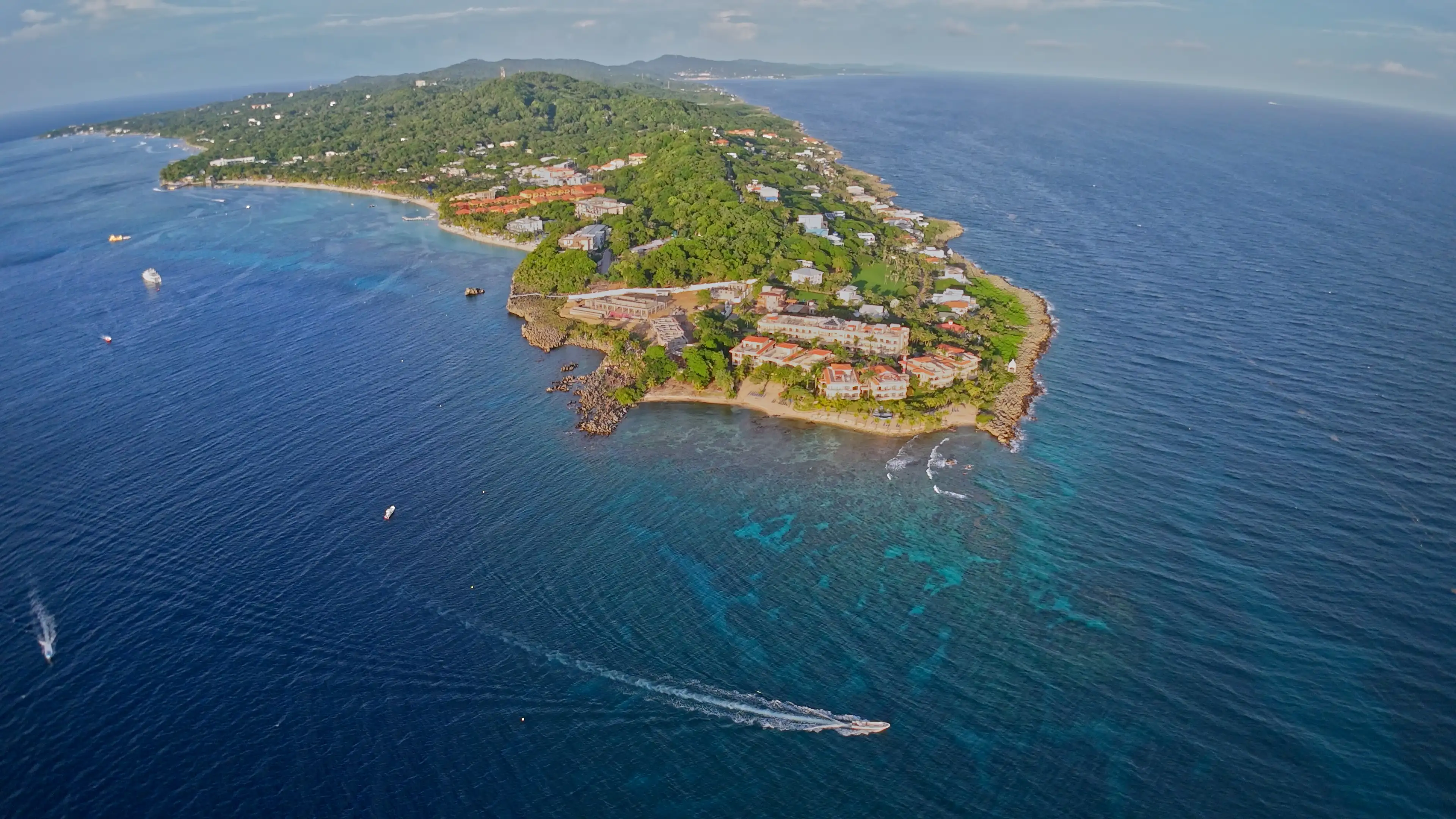
A post on the Relatos Prohibidos Facebook page asked the question this week: which country has the best beach in Central America? Seven countries, seven candidates. I have lived on one of them since 2014, on Roatán, so I am not neutral. Better to say it up front.
To be fair to the other six, I looked at them the only way that doesn’t cheat: from above, in satellite images, all at the same scale. Each strip below shows about two to three kilometres of shoreline, with the water on top, the beach in the middle and what lies behind it at the bottom. Click a strip to zoom in.
The short answer: what is the best beach in Central America?
There is no single winner: it depends on what you want to do with your day.
| Country | Beach | Coast | What makes it unique | Best for |
|---|---|---|---|---|
| Guatemala | Monterrico | Pacific | Black sand, mangroves, sea turtles | Sunsets, nature |
| Belize | Placencia | Caribbean | A village with its feet in the sand | Village life, boat trips |
| El Salvador | El Cuco | Pacific | A very long black volcanic sand beach | Long family days, surf nearby |
| Honduras | West Bay, Roatán | Caribbean | The reef right in front of the sand | Snorkelling from the beach |
| Nicaragua | El Coco | Pacific | A wide, quiet bay | Slowing down, long walks |
| Costa Rica | Playa Conchal | Pacific | A beach made of shells | Clear water, scenery |
| Panama | Guna Yala (San Blas) | Caribbean | An archipelago in Guna territory | Postcard islands |
Caribbean or Pacific: the real first question
Before comparing beaches, check which side they are on. It changes your day more than anything else.
- The Caribbean side (Placencia, West Bay, Guna Yala): pale sand, turquoise water, often calm seas, reefs.
- The Pacific side (Monterrico, El Cuco, El Coco, Conchal): more waves and swell, often darker sand, and the sun setting over the sea.
It is not about “better”. A surfer will pick the Pacific; someone who wants to see fish through a mask will pick the Caribbean.
Guatemala beaches: Monterrico, black sand and sea turtles

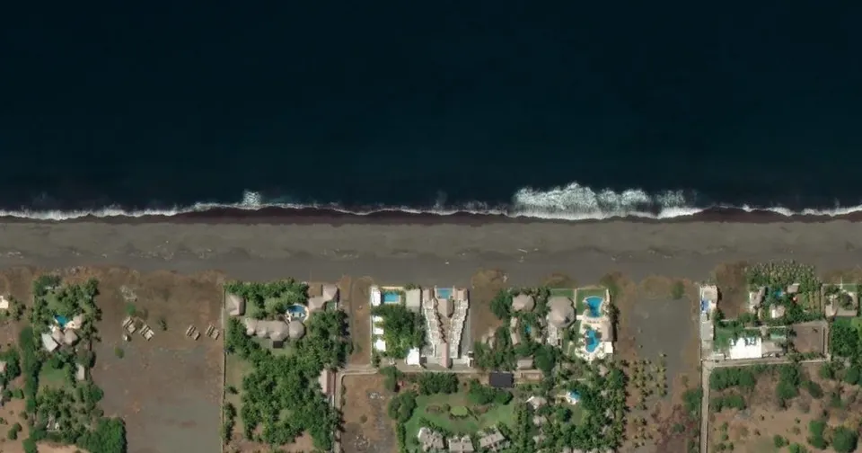
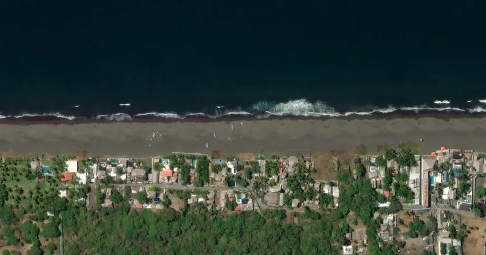
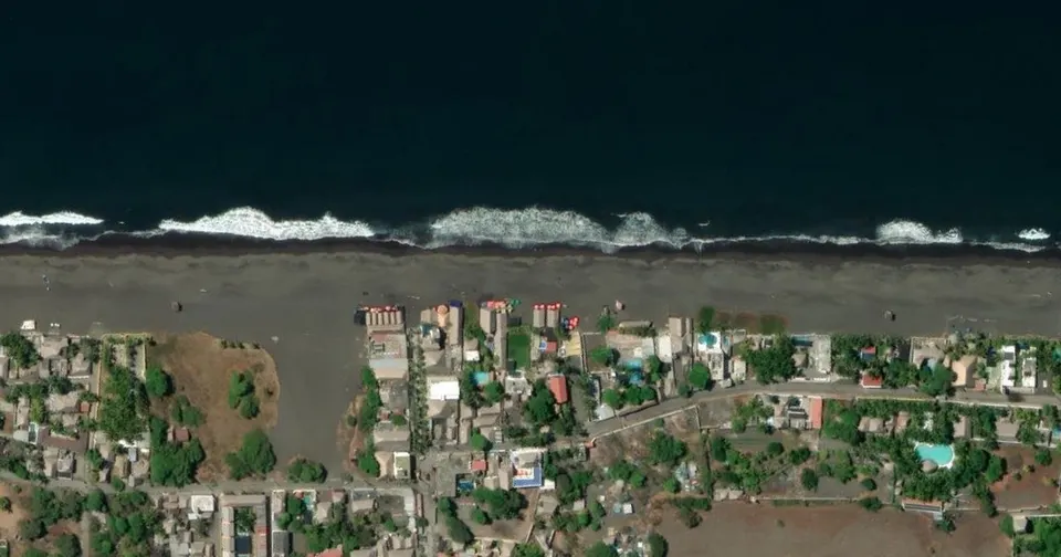
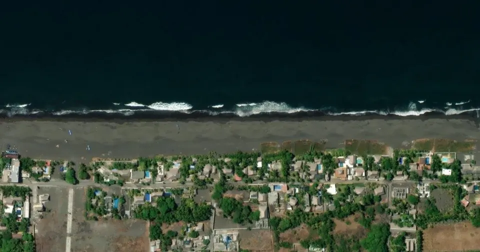
Monterrico is on Guatemala’s Pacific coast, in the department of Santa Rosa. From above it is the straightest of the seven: one long line of black sand, waves breaking right in front, and the village behind.
Guatemala’s National Council of Protected Areas (CONAP) manages a protected area there, the Área de Uso Múltiple Monterrico, with trails, mangroves and sea turtle nesting beaches. One word of caution: the Pacific is powerful here, and a nice photo says nothing about the sea on the day you go.
Also very popular: Livingston, on the Caribbean side, at the mouth of the Río Dulce. You get there by boat, and it is the heart of Garífuna culture in Guatemala. People go for the town and the river more than for a beach, which is why Monterrico gets the spot here.
Belize beaches: Placencia, the beach and the village

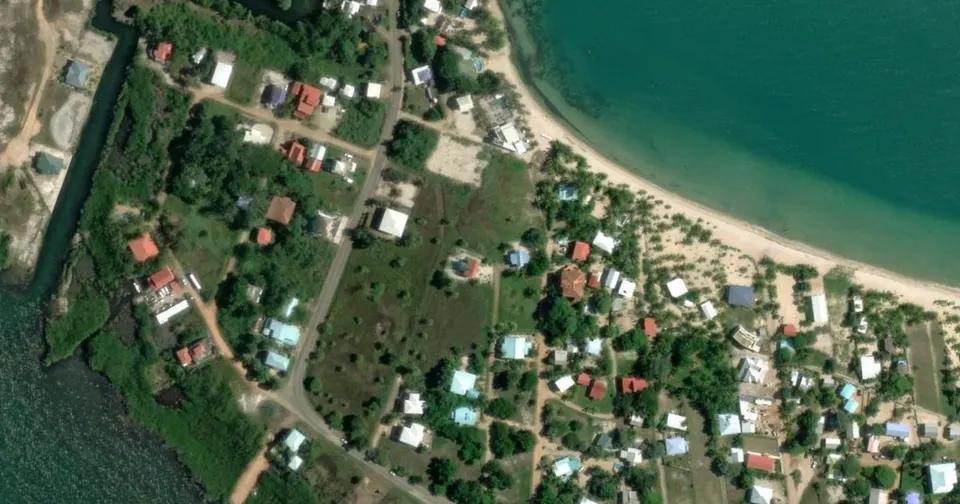
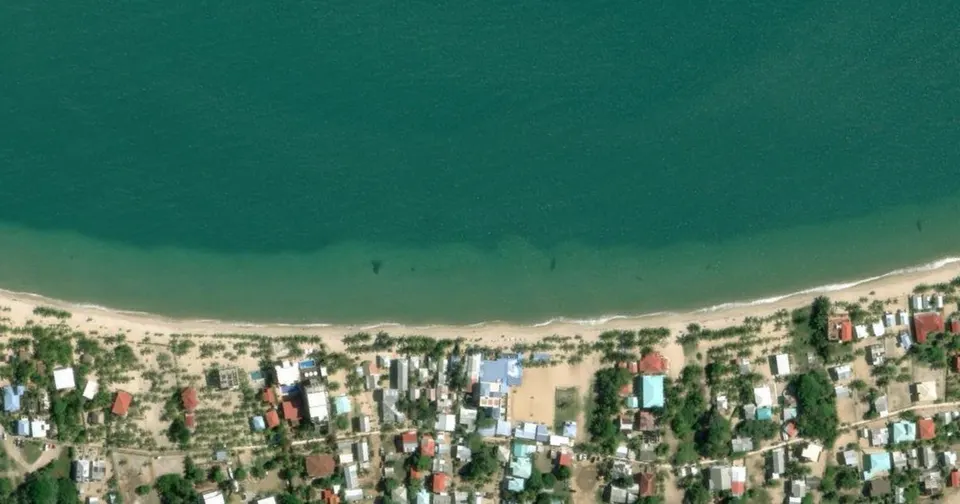
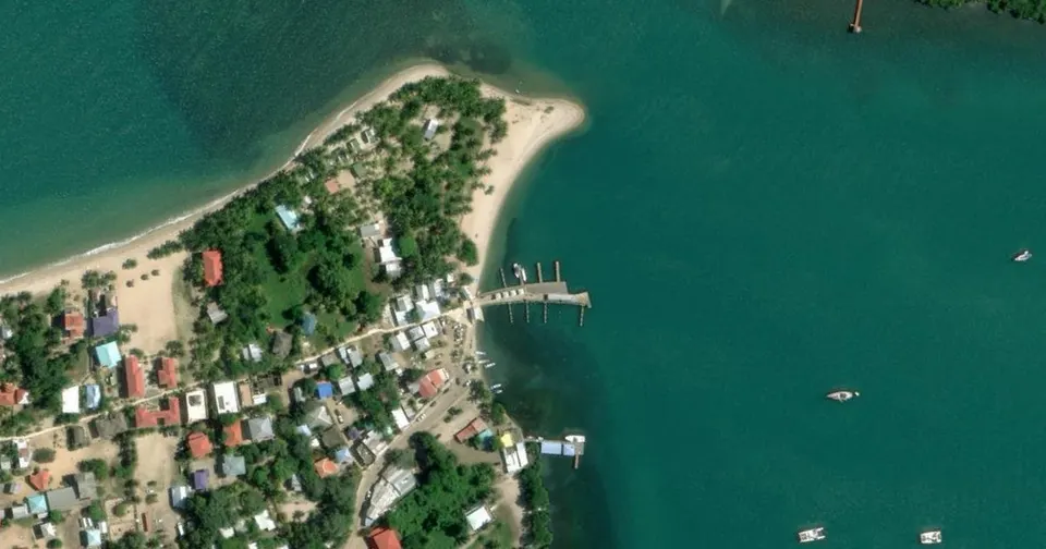
Placencia is in southern Belize, in the Stann Creek District, on a narrow peninsula between the Caribbean Sea and a lagoon. The Belize Tourism Board describes 16 miles of peninsula. The image shows the village beach: a long curve of pale sand with the houses right behind it.
This is the beach for people who like to walk to a restaurant after a swim. Snorkelling and diving trips leave from the village for the reef further out: it is not in front of your towel.
Also very popular: Ambergris Caye (and its town, San Pedro) and Caye Caulker, the two islands most visitors to Belize choose. They go for the barrier reef just offshore, not for a long beach: from above, much of their shoreline is docks and seawall, and on Caye Caulker the swimming spot is the Split, a channel at the north end of the village.
El Salvador beaches: El Cuco, the great volcanic beach

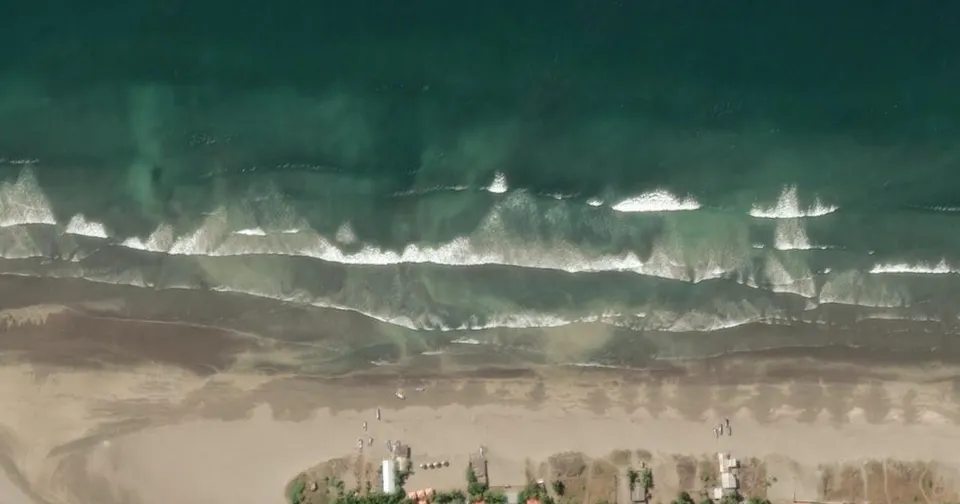
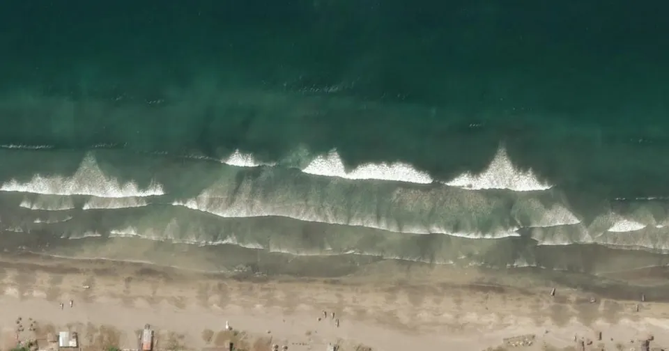
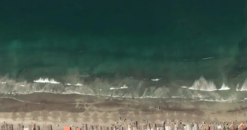
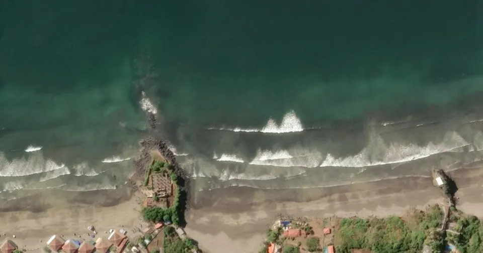
El Cuco is in the department of San Miguel, 170 km from San Salvador according to El Salvador’s tourism board, which describes a very long beach of black volcanic sand. The image shows exactly that: a wide band of sand, rows of umbrellas, and four lines of breaking waves.
It is a beach for a whole day with the family, with a restaurant at your back. Surfers go next door, to the waves at Las Flores.
Also very popular: El Tunco, on the La Libertad coast west of San Salvador, the country’s surf town. Rocks and strong waves: great for surfers and sunsets, less so for a swim.
Honduras beaches: West Bay, Roatán, the reef within swimming distance

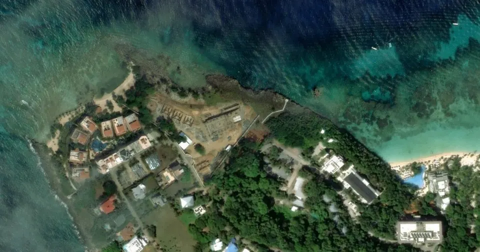
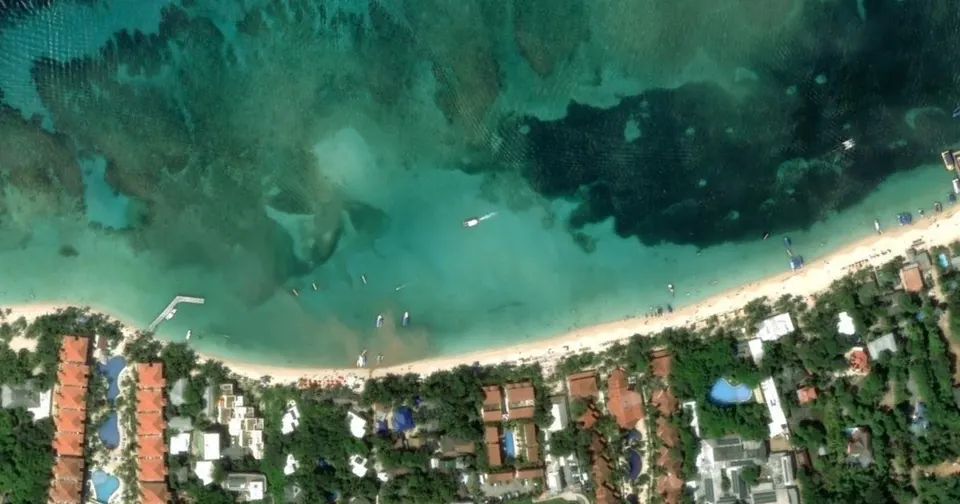
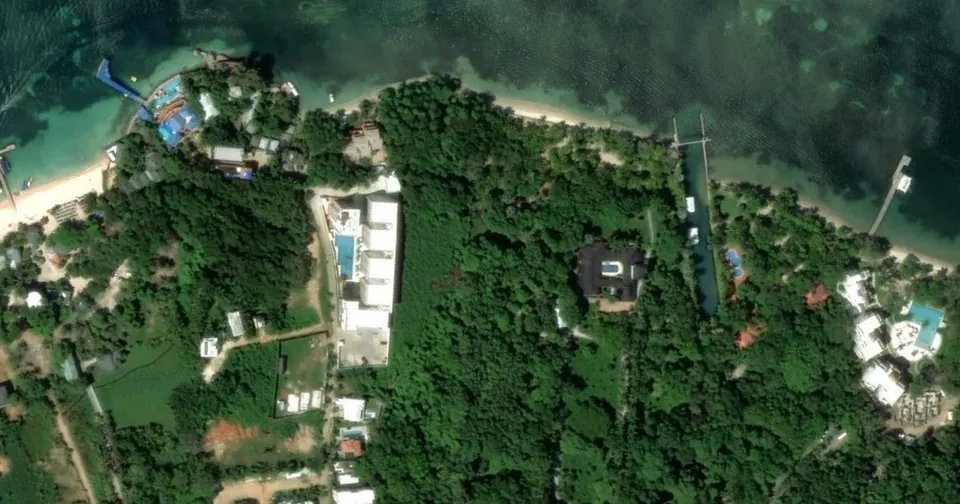
This is my beach, so here is what I have seen since 2014, and what the image confirms.
Look at the colour of the water in front of the sand. The pale turquoise is sand under water. The dark patches just beyond it are the reef. At West Bay it starts a few dozen metres from the beach. You walk in with a mask, swim a little, and you are over the coral. None of the other six beaches in this post offers that from the sand.
PADI, the world diving organisation, describes West Bay by its white-sand beaches, calm and clear water, shallow coral gardens and wall dives. Roatán sits on the Mesoamerican Reef.
Everything to know before you go (getting there from the port, what is free, where to get in the water): West Bay Beach, Roatán.
The flip side: it is the best-known beach on the island, so it is also the busiest. If you want to work out where to stay for what you are after, I cover it in Where to stay in Roatán: which area. And to see the reef with a guide, in English, French or Spanish, that is our Roatán snorkelling tour.
Also very popular: Utila, the neighbouring island, known for diving and whale sharks, with small beaches. Cayos Cochinos, a protected group of cays between Roatán and the mainland, is a boat day trip. And West End, right next to West Bay, is the village where you eat and go out.
Nicaragua beaches: El Coco, to slow down

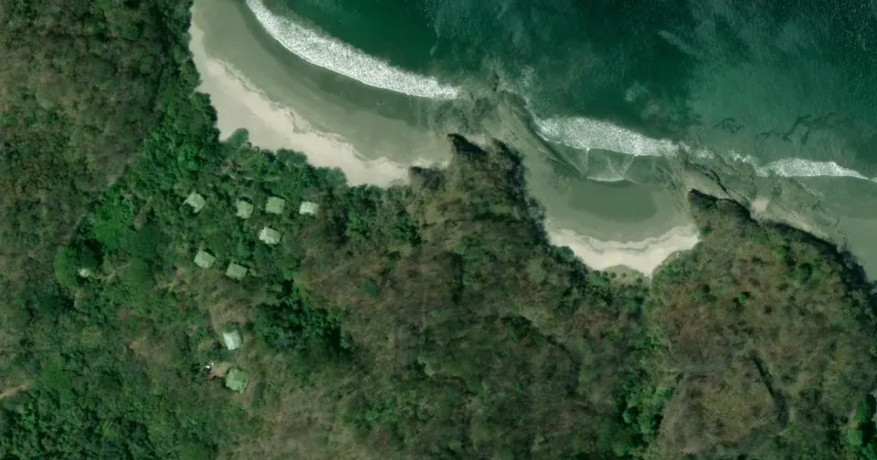
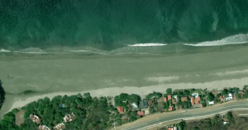
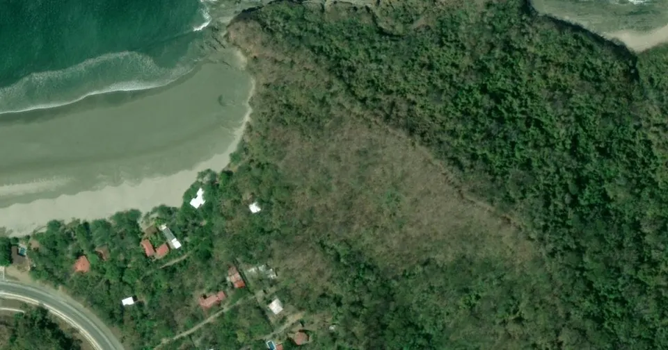
Playa El Coco is on the Pacific coast near San Juan del Sur, in the department of Rivas. Nicaragua’s tourism board presents it as one of the most peaceful destinations in the country.
The image shows why: a wide, open bay between two wooded headlands, a very wide beach at low tide, and very little built behind it. It is the beach for long walks and doing nothing.
Also very popular: the Corn Islands, on the Caribbean about 70 km off the coast; Little Corn has no cars and the reef is close. And San Juan del Sur, the surf town right next to El Coco, busier and livelier.
Costa Rica beaches: Playa Conchal, the beach made of shells

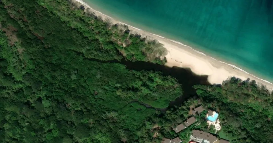
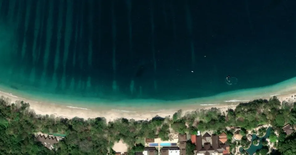
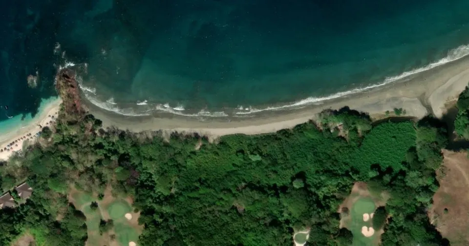
Playa Conchal is in Guanacaste province, south of Brasilito. Costa Rica’s tourism board explains its name: the beach is made of millions of shell fragments. The bay is about two kilometres long, lined with vegetation and a mangrove.
In the image the arc is perfect, and the water turns from turquoise to deep blue very quickly. It is the most “postcard” of the Pacific beaches on this list.
Also very popular: Playa Flamingo, just north of Conchal, and Tamarindo, both in Guanacaste, and Santa Teresa on the Nicoya Peninsula. Tamarindo and Santa Teresa are surf towns; Conchal keeps the calmer, clearer water.
Panama beaches: Guna Yala (San Blas), an archipelago and a people

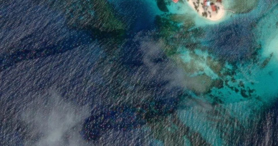
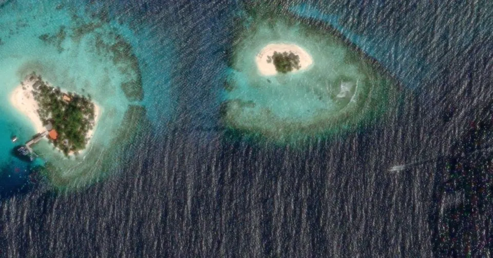
Guna Yala, also called San Blas, is an archipelago on Panama’s Caribbean coast. Here we are not comparing one beach but dozens of small islands. In the centre of the image are Isla Perro (Achudub) and its neighbours: white sand, a few palm trees, and reef all around.
It is also the territory of the Guna people. Visit Panama makes the point: tourism there goes through the communities, and visitors follow their rules.
Also very popular: Bocas del Toro, Panama’s other Caribbean archipelago, near the Costa Rica border. Easier to reach, with a town and hotels. Its best-known beaches are Starfish Beach (Playa Estrella) on Isla Colón and Red Frog Beach on Bastimentos.
Which one should you choose?
| You want… | Go to… |
|---|---|
| To snorkel straight from the beach | West Bay, Roatán |
| Postcard islands | Guna Yala (San Blas) |
| Clear water and a beach unlike any other | Playa Conchal |
| Sunsets and black sand | Monterrico or El Cuco |
| A village where you walk everywhere | Placencia |
| Quiet, far from everything | El Coco |
One last thing if you are heading to the Caribbean in winter: check on sargassum, the seaweed that washes up some years. I cover it in Sargassum-free Caribbean.
Sources
The facts in this post come from each country’s tourism board, checked on 2 November 2026:
- Guatemala: CONAP, Área de Uso Múltiple Monterrico (in Spanish)
- Belize: Travel Belize, Placencia
- El Salvador: El Salvador Travel, Playa El Cuco (in Spanish)
- Honduras: PADI, Diving West Bay
- Nicaragua: Visit Nicaragua, Playa El Coco (in Spanish)
- Costa Rica: Visit Costa Rica, Guanacaste attractions (in Spanish)
- Panama: Visit Panama, San Blas Islands
Satellite imagery: Esri, Maxar and Earthstar Geographics.
Torn between two beaches? Message me, in English, French or Spanish. And if it is West Bay, have a look at our Roatán tours. See you on the island.
Frequently asked questions
What is the best beach in Central America?
It depends on what you want from your day. For snorkelling straight from the sand, West Bay on Roatán (Honduras) has the reef right in front. For postcard islands, Guna Yala (San Blas) in Panama. For a beach made of shells, Playa Conchal in Costa Rica. For black sand and big Pacific waves, Monterrico in Guatemala or El Cuco in El Salvador.
Which Central American beaches are on the Caribbean?
Of the seven in this post: Placencia (Belize), West Bay (Roatán, Honduras) and Guna Yala (Panama). The other four, Monterrico, El Cuco, El Coco and Playa Conchal, are on the Pacific.
Where can you snorkel from the beach in Central America?
At West Bay, on Roatán. PADI describes shallow coral gardens and calm, clear water, and the satellite image shows the reef a few dozen metres from the sand.
Why is Playa Conchal so clear?
Costa Rica's tourism board explains that the beach is made of millions of shell fragments, hence its name. The bay is about two kilometres long.